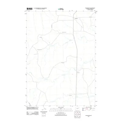
2012 Map of Savageton
USGS Topo · Published 2012About this map
Savageton serves as the focal point for this ranching landscape in southern Campbell County, where the high plains are carved by a network of seasonal drainages. The area is defined by established family holdings, including the H Schlautmann Ranch and W Schlautmann Ranch, reflecting a legacy of livestock operations that rely on local water sources like the Schlautan Reservoir.
Find a feature on this map
14 named features on this map. Tap any name to fly to it.
Don’t see what you’re looking for? This feature index may not catch every label — zoom into the map to look around manually.
Map Details
Editions of this 2012 Savageton Map
This is the sole edition of this map. No revisions or reprints were ever made.
Other maps of this area

1953 · Savageton
USGS Topo · 1:24,000

1953 · Fats Draw
USGS Topo · 1:24,000

1953 · South Butte
USGS Topo · 1:24,000

1953 · Rolling Pin Ranch
USGS Topo · 1:24,000

1953 · North Butte
USGS Topo · 1:24,000

1955 · Newcastle
USGS Topo · 1:250,000

1958 · Newcastle
USGS Topo · 1:250,000

1959 · Savageton
USGS Topo · 1:62,500

1959 · North Star School
USGS Topo · 1:62,500

1960 · Turnercrest
USGS Topo · 1:62,500