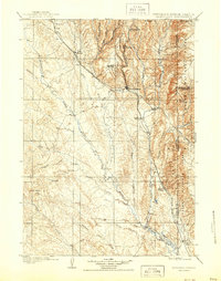
1958 Map of Newcastle
USGS Topo · Published 1958About this map
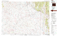
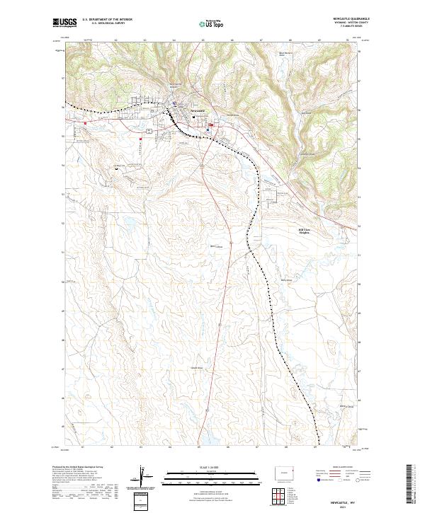
The high plains of eastern Wyoming and the edge of the Black Hills come into sharp focus in this mid-century survey, centered on the strategic railroad town of Newcastle. The Chicago Burlington & Quincy RR serves as the primary artery for the region, connecting smaller settlements like Osage, Upton, and Mondell while following the subtle terrain of the Little Buffalo Range. In the east, the landscape shifts dramatically into the Black Hills National Forest, where the Summitt Ridge Lookout Tower and Elk Mtns Lookout Tower overlook the rugged topography.
Find a feature on this map
90 named features on this map. Tap any name to fly to it.
Don’t see what you’re looking for? This feature index may not catch every label — zoom into the map to look around manually.
Map Details
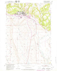
Editions of this 1958 Newcastle Map
This is the sole edition of this map. No revisions or reprints were ever made.
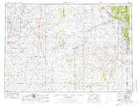
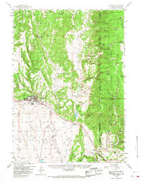
Historical Maps of Newcastle Through Time
8 maps found