Old Maps of Riverside, Wyoming for Metal Detecting
Plan your next treasure hunt with 12 historic maps of Riverside. Find old homesites, ghost towns, trails, and gathering spots that may be lost to time — perfect for identifying promising metal detecting locations.
- Locate forgotten sites: Uncover places like long-lost settlements, abandoned rail lines, or gathering spots.
- Plan better hunts: Use map overlays combined with LiDAR or satellite views to narrow in on historically rich areas.
- Made for detectorists: Thousands of hobbyists use these maps to discover relics, coins, and hidden history.
Use these historic maps to boost your research and find new opportunities beneath the surface of Riverside.
Riverside, WY maps
(12)- 1939 Map of Saratoga
 1939 Saratoga1939 Print · USGSThe North Platte valley comes alive in the late 1930s as a vital corridor for ranching and transport. Researchers can trace the Saratoga and Encampment Railroad or locate early rural schools like Benton Creek Sch and the Big Cr Mine.3 unique versions available
 - 1954 Map of Rawlins, 1968 Print
 1954 Rawlins1968 Print · USGSThe high plains and mountain ranges of southern Wyoming are shown here in the mid-1950s as the Union Pacific railroad and early highways fueled local industry. Genealogists and historians can trace old homesteads and outposts like the Overland Stage Station, the Utah Oil Refining Station, and the Hadsell Winter Headquarters.2 unique versions available
 - 1958 Map of Rawlins
 1958 Rawlins1958 Print · USGSSouthern Wyoming at the mid-century shows a landscape defined by the Union Pacific Railroad and the high basins of the Continental Divide. Researchers can trace old transportation routes near Fort Fred Steele or explore the mining history around Hanna and Medicine Bow.2 unique versions available
 - 1961 Map of Encampment, 1963 Print
 1961 Encampment1963 Print · USGSEncampment and Riverside anchor this Carbon County ranching valley in the early 1960s as irrigation networks shaped the high plains. Genealogists can trace legacy holdings like the Oldman Ranch and Water Valley Ranch or locate the Encampment Cem.5 unique versions available
 - 1962 Map of Rawlins
 1962 Rawlins1962 Print · USGSSouthern Wyoming at the dawn of the sixties shows a landscape shaped by the Union Pacific and the high peaks of the Medicine Bow Mountains. Researchers can trace the path of the old stage routes through Overland Stage Station and Fort Fred Steele.
 - 1967 Map of Rawlins
 1967 Rawlins1967 Print · USGSCentral Wyoming and northern Colorado in the 1980s are defined here by the Union Pacific corridor and the high peaks of the Sierra Madre. Researchers can trace the legacy of old mining and rail towns like Carbon, Hanna, and Medicine Bow along the Overland Trail.
 - 1982 Map of Saratoga
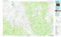 1982 Saratoga1982 Print · USGSHigh country ranching and mining define this southern Wyoming region during the early 1980s. Researchers can trace the Union Pacific Railroad corridor through Foxpark or locate the historic Ferris-Haggarty Mine near the North Platte River.
 - 1988 Map of Rawlins
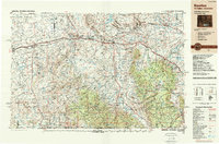 1988 Rawlins1988 Print · USGSSouthern Wyoming and the Colorado borderlands are detailed here in the late eighties, featuring the intersection of the historic Overland Trail and the Union Pacific. Researchers can trace old rail towns like Medicine Bow and Wamsutter or landmark peaks like Medicine Bow Peak.
 - 2012 Map of Encampment, 2012 Print
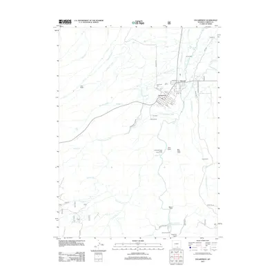 2012 Encampment2012 Print · USGSEncampment and Riverside anchor this ranching landscape during the early twenty-first century, showcasing a sophisticated irrigation network. Researchers can trace family ranch lands like Peryam Ranch or locate the Encampment Cem and Independent Order of Odd Fellows Camp.
 - 2015 Map of Encampment, 2015 Print
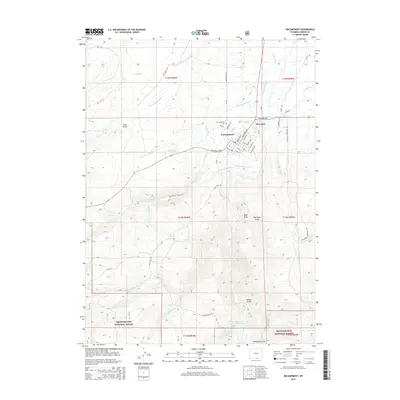 2015 Encampment2015 Print · USGSEncampment and Riverside anchor this mountain-basin landscape during the early twenty-first century, where ranching and forest access meet. Genealogists and historians can trace water rights through the Grand Valley Ditch or locate family plots at the Encampment Cem.
 - 2017 Map of Encampment, 2017 Print
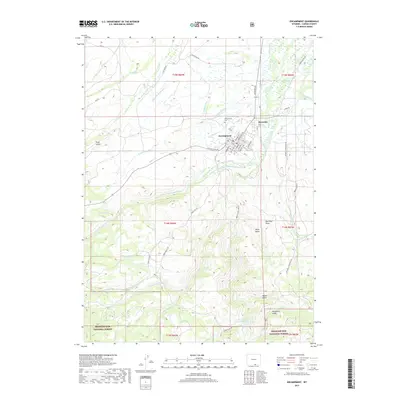 2017 Encampment2017 Print · USGSEncampment and Riverside anchor this Carbon County landscape as it appeared in recent years, positioned between open ranch land and the national forest. Researchers can trace irrigation history through the Grand Valley Ditch or locate family sites near Encampment Cem and Tram Gulch.
 - 2021 Map of Encampment, 2021 Print
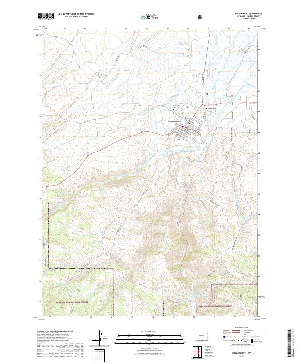 2021 Encampment2021 Print · USGSThe Encampment Valley in Carbon County is shown here during a period of transition between its mountain wilderness and agricultural plains. Researchers can trace irrigation networks like Grand Valley Ditch or locate family plots in the Encampment Cem.
End of results
Showing maps 1-12 of 12
Top cities near Riverside
Frequently asked questions
- What are the different types of historical maps available for Riverside?
- What is the oldest map of Riverside?
- Where can I purchase historical maps of Riverside for my home or office?
- Where can I download high-res historical maps of Riverside?
- Are there historical topographic maps available for Riverside?
- Is there historical aerial imagery available for Riverside?
- Where are historical maps of Riverside sourced from?