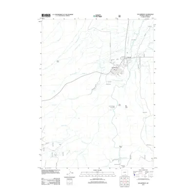
2012 Map of Encampment
USGS Topo · Published 2012About this map
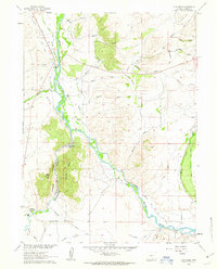
Encampment and its neighboring town of Riverside sit at the northern edge of this high-elevation landscape, where the N Fork Encampment River winds through the valley floor. The map documents a classic Western settlement pattern, with town grids surrounded by an extensive network of irrigation ditches such as Pilson Ditch Number 1, Wagoner Ditch, and the Brownlee Ditch. This infrastructure highlights the area's agricultural reliance on diverted mountain water to support the many family-named holdings across the quadrangle.
Find a feature on this map
57 named features on this map. Tap any name to fly to it.
Don’t see what you’re looking for? This feature index may not catch every label — zoom into the map to look around manually.
Map Details
Editions of this 2012 Encampment Map
This is the sole edition of this map. No revisions or reprints were ever made.
Other maps of this area

1939 · Saratoga
USGS Topo · 1:125,000

1954 · Rawlins
USGS Topo · 1:250,000

1958 · Rawlins
USGS Topo · 1:250,000

1961 · Red Mountain
USGS Topo · 1:24,000

1961 · Gunst Reservoir
USGS Topo · 1:24,000

1961 · Encampment
USGS Topo · 1:24,000
1961 · Blackhall Mountain
USGS Topo · 1:24,000
1961 · Dudley Creek
USGS Topo · 1:24,000
1961 · Cow Creek Ranch
USGS Topo · 1:24,000
1961 · Cow Creek
USGS Topo · 1:24,000