
1961 Map of Gunst Reservoir
USGS Topo · Published 1963About this map
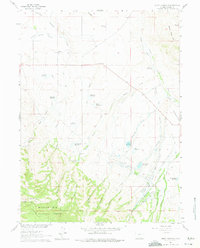
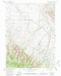
Anderson Ranch and the Sierra Madre Ranch anchor this landscape in Carbon County, where high-altitude ranching meets the rugged northern edge of the Medicine Bow National Forest. The map documents a complex network of 1960s water management, featuring an intricate system of canals like the Wagoner Enlarged Ditch and Cherokee Ditch designed to capture runoff for livestock and irrigation. This infrastructure supports several scattered holdings, including the Indian Creek Ranch.
Find a feature on this map
62 named features on this map. Tap any name to fly to it.
Don’t see what you’re looking for? This feature index may not catch every label — zoom into the map to look around manually.
Map Details
Editions of this 1961 Gunst Reservoir Map
3 editions found
Other maps of this area

1939 · Saratoga
USGS Topo · 1:125,000

1954 · Rawlins
USGS Topo · 1:250,000

1958 · Rawlins
USGS Topo · 1:250,000

1961 · Ryan Park
USGS Topo · 1:24,000
1961 · Trent Creek
USGS Topo · 1:24,000
1961 · Barcus Peak
USGS Topo · 1:24,000

1961 · Encampment
USGS Topo · 1:24,000
1961 · Blackhall Mountain
USGS Topo · 1:24,000
1961 · Dudley Creek
USGS Topo · 1:24,000
1961 · Cow Creek Ranch
USGS Topo · 1:24,000