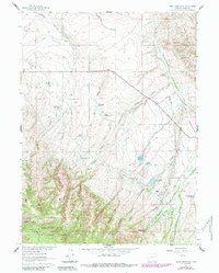
1961 Map of Gunst Reservoir
USGS Topo · Published 1984About this map
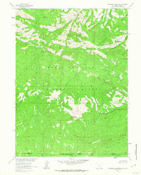
Medicine Bow National Forest dominates the southern landscape of this 1960s-era survey, where the foothills meet a complex network of ranching and irrigation infrastructure. The map documents a rugged high-country economy dependent on water management, evidenced by the numerous ditches and reservoirs named for local families and landmarks. The Cherokee Trail winds through the central terrain, passing near the Indian Creek Ranch and Cherokee Trail Reservoir. To the north, the Wagoner Enlarged Cherokee Ditch and Sixteen Gulch define the drainage patterns of the high plains. This record preserves the location of isolated homesteads like the Anderson Ranch and Sierra Madre Ranch, providing a valuable window into Carbon County land use and water rights before later 20th-century developments altered these rural tracts.
Find a feature on this map
49 named features on this map. Tap any name to fly to it.
Don’t see what you’re looking for? This feature index may not catch every label — zoom into the map to look around manually.
Map Details
Editions of this 1961 Gunst Reservoir Map
3 editions found
Other maps of this area

1939 · Saratoga
USGS Topo · 1:125,000

1954 · Rawlins
USGS Topo · 1:250,000

1958 · Rawlins
USGS Topo · 1:250,000

1961 · Ryan Park
USGS Topo · 1:24,000

1961 · Gunst Reservoir
USGS Topo · 1:24,000
1961 · Trent Creek
USGS Topo · 1:24,000
1961 · Barcus Peak
USGS Topo · 1:24,000

1961 · Encampment
USGS Topo · 1:24,000
1961 · Blackhall Mountain
USGS Topo · 1:24,000
1961 · Dudley Creek
USGS Topo · 1:24,000