
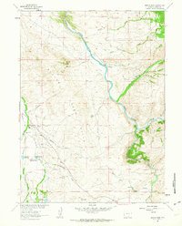
1961 Map of Ryan Park
USGS Topo · Published 1963About this map
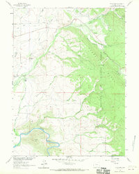
Medicine Bow National Forest dominates this Wyoming landscape, where the high country of Bow Ridge transitions into the productive valley of the North Platte River. The settlement at Ryan Park serves as a focal point within the timbered terrain, supported by the Brush Creek Ranger Sta and a Lookout Tower on the heights of VABM Barrett 9057. This era of land use is characterized by a mix of recreation at Medicine Bow Lodge and traditional ranching at operations like Brush Creek Ranch and Condict Ranch. Water management is central to the area's development, evidenced by the Brush Creek Supply Ditch and Condict Slough. Traces of earlier industry remain visible through the Dewey Mine and various jeep trails, while a Landing Strip near the river reflects the modernization of mountain transport in the mid-20th century.
Find a feature on this map
41 named features on this map. Tap any name to fly to it.
Don’t see what you’re looking for? This feature index may not catch every label — zoom into the map to look around manually.
Map Details
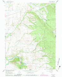
Editions of this 1961 Ryan Park Map
3 editions found
Other maps of this area

1906 · Medicine Bow
USGS Topo · 1:125,000

1908 · Medicine Bow
USGS Topo · 1:125,000

1939 · Saratoga
USGS Topo · 1:125,000

1954 · Rawlins
USGS Topo · 1:250,000

1958 · Rawlins
USGS Topo · 1:250,000

1961 · Overlook Hill
USGS Topo · 1:24,000
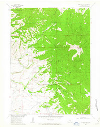
1961 · Kennaday Peak
USGS Topo · 1:24,000
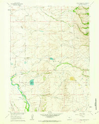
1961 · Finley Reservoir
USGS Topo · 1:24,000

1961 · Gunst Reservoir
USGS Topo · 1:24,000
1961 · Barcus Peak
USGS Topo · 1:24,000