Old Maps of Tullis, Wyoming for Hiking & Exploration
Hike through history with 13 historic maps of Tullis. Explore old trails, ghost towns, and forgotten backroads — perfect for outdoor adventurers and local explorers.
- Rediscover forgotten places: Map out old mining camps, roads, and footpaths that no longer exist on modern maps.
- Layer with modern tools: Combine with LiDAR or satellite views to plan hikes through historical terrain.
- Made for exploration: Popular among hikers, overlanders, and local history lovers.
Use these maps to find adventure and explore the hidden past of Tullis.
Tullis, WY maps
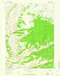
(13)- 1932 Map of Savery
 1932 Savery1932 Print · USGSSouthern Wyoming ranching and mining country meet at the edge of the Rockies in the early thirties. Genealogists and historians can locate rural schools like Ketchum Sch, the operations of Pioneer Coal Co, and the remote Tullis settlement.3 unique versions available
 - 1940 Map of Savery
 1940 Savery1940 Print · USGSThe high country of the Wyoming-Colorado border is captured here as the ranching and forest service outposts of the early twentieth century were becoming established. Researchers can trace the remote Snake River drainage and find historic sites like Tullis, Savery, and the Rambler Ranger Sta.2 unique versions available
 - 1954 Map of Rawlins, 1968 Print
 1954 Rawlins1968 Print · USGSThe high plains and mountain ranges of southern Wyoming are shown here in the mid-1950s as the Union Pacific railroad and early highways fueled local industry. Genealogists and historians can trace old homesteads and outposts like the Overland Stage Station, the Utah Oil Refining Station, and the Hadsell Winter Headquarters.2 unique versions available
 - 1958 Map of Rawlins
 1958 Rawlins1958 Print · USGSSouthern Wyoming at the mid-century shows a landscape defined by the Union Pacific Railroad and the high basins of the Continental Divide. Researchers can trace old transportation routes near Fort Fred Steele or explore the mining history around Hanna and Medicine Bow.2 unique versions available
 - 1961 Map of Tullis, 1963 Print
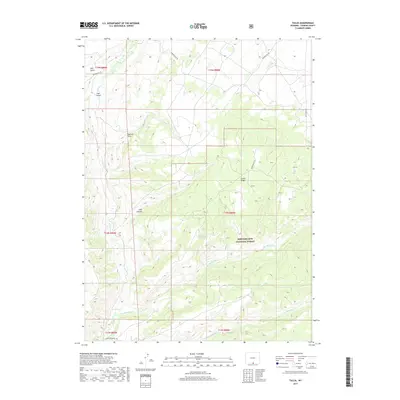
 1961 Tullis1963 Print · USGSCarbon County's high country is captured here in the early sixties, showing the remote forest boundaries and rugged drainage systems. Researchers can trace early routes like the Jeep Trail across Green Ridge and locate the site of Pullis.3 unique versions available
 - 1962 Map of Rawlins
 1962 Rawlins1962 Print · USGSSouthern Wyoming at the dawn of the sixties shows a landscape shaped by the Union Pacific and the high peaks of the Medicine Bow Mountains. Researchers can trace the path of the old stage routes through Overland Stage Station and Fort Fred Steele.
 - 1967 Map of Rawlins
 1967 Rawlins1967 Print · USGSCentral Wyoming and northern Colorado in the 1980s are defined here by the Union Pacific corridor and the high peaks of the Sierra Madre. Researchers can trace the legacy of old mining and rail towns like Carbon, Hanna, and Medicine Bow along the Overland Trail.
 - 1983 Map of Baggs
 1983 Baggs1983 Print · USGSSettlement along the Wyoming-Colorado border in the early eighties follows the path of the Little Snake River through Carbon and Moffat counties. Researchers can trace the path of the Overland Trail or locate historical mining sites like the Ferris-Haggarty Mine and Standard Mine.
 - 1988 Map of Rawlins
 1988 Rawlins1988 Print · USGSSouthern Wyoming and the Colorado borderlands are detailed here in the late eighties, featuring the intersection of the historic Overland Trail and the Union Pacific. Researchers can trace old rail towns like Medicine Bow and Wamsutter or landmark peaks like Medicine Bow Peak.
 - 2012 Map of Tullis, 2012 Print
 2012 Tullis2012 Print · USGSCovers Tullis, including Carbon County, United States, and other nearby areas
 - 2015 Map of Tullis, 2015 Print
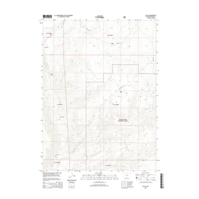 2015 Tullis2015 Print · USGSCovers Tullis, including Carbon County, United States, and other nearby areas
 - 2017 Map of Tullis, 2017 Print
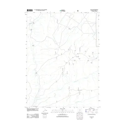
 2017 Tullis2017 Print · USGSCovers Tullis, including Carbon County, United States, and other nearby areas
 - 2021 Map of Tullis, 2021 Print
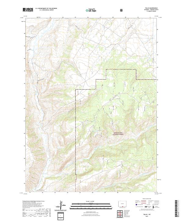 2021 Tullis2021 Print · USGSCarbon County’s high country is captured here during the twenty-first century, showing the remote drainages of the Medicine Bow National Forest. You can trace the rugged paths of Big Sandstone Cr and the heights of Green Ridge.
End of results
Showing maps 1-13 of 13
Frequently asked questions
- What are the different types of historical maps available for Tullis?
- What is the oldest map of Tullis?
- Where can I purchase historical maps of Tullis for my home or office?
- Where can I download high-res historical maps of Tullis?
- Are there historical topographic maps available for Tullis?
- Is there historical aerial imagery available for Tullis?
- Where are historical maps of Tullis sourced from?