
1932 Map of Savery
USGS Topo · Published 1932About this map
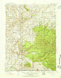
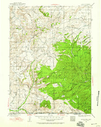
The Medicine Bow National Forest dominates this high-altitude landscape along the Wyoming-Colorado border, where the Continental Divide Trail snakes through a series of prominent peaks and ridgelines. Early twentieth-century coal mining operations are evident near the settlement of Savery, including the Beeler Coal Co and Pioneer Coal Co situated along the banks of the Little Snake River. The survey documents a scattered network of rural education, identifying the Ketchum Sch, Browns Hill Sch, and Baker Peak Sch as centers for the ranching and mining families of the era.
Find a feature on this map
60 named features on this map. Tap any name to fly to it.
Don’t see what you’re looking for? This feature index may not catch every label — zoom into the map to look around manually.
Map Details
Editions of this 1932 Savery Map
3 editions found
Other maps of this area

1893 · Fort Steele
USGS Topo · 1:125,000

1911 · Hahns Peak
USGS Topo · 1:125,000

1913 · Hahns Peak
USGS Topo · 1:125,000

1916 · Craig
USGS Topo · 1:125,000

1939 · Saratoga
USGS Topo · 1:125,000

1940 · Savery
USGS Topo · 1:125,000

1954 · Rawlins
USGS Topo · 1:250,000

1954 · Craig
USGS Topo · 1:250,000

1955 · Overland Crossing
USGS Topo · 1:24,000

1956 · Bridger Pass
USGS Topo · 1:62,500