Old Maps of Birkner Hill, Wyoming for Academic Research
Study the evolution of Birkner Hill with 6 high-resolution historic maps. Whether you're teaching, researching, or modeling changes in land use, these maps provide essential visual documentation of urban, environmental, and geographic change.
- Analyze long-term change: Track patterns in development, transportation, and natural features.
- Ideal for environmental or urban studies: Support academic projects with primary historical map data.
- Use in the classroom or lab: Educators and researchers rely on these maps to bring historical context to life.
These maps are a powerful tool for teaching, research, and visualizing how Birkner Hill has changed over the decades.
Birkner Hill, WY maps
(6)- 1955 Map of Newcastle, 1963 Print
 1955 Newcastle1963 Print · USGSThe high plains of eastern Wyoming and western South Dakota are captured in the mid-fifties, showing a landscape of sprawling ranches and emerging oil fields. Researchers can locate family landmarks like Saunders Ranch, trace the Chicago Burlington & Quincy RR, and explore small rail towns such as Osage and Edgemont.2 unique versions available
 - 1958 Map of Newcastle
 1958 Newcastle1958 Print · USGSThe high plains of eastern Wyoming meet the Black Hills in the late fifties, showcasing a landscape of rail-connected towns and historic trails. Trace the path of the Chicago Burlington & Quincy RR through Newcastle or locate the Bozeman Trail Monument and Summitt Ridge Lookout Tower.
 - 1959 Map of Highland Flats, 1962 Print
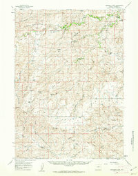 1959 Highland Flats1962 Print · USGSConverse County ranching country is captured here in the late fifties, showing a landscape defined by the Cheyenne River and isolated homesteads. Researchers can trace historic family holdings like the Hornbuckle Ranch and landmarks like Holdup Hollow or Suicide Hill.2 unique versions available
 - 1979 Map of Bill, 1980 Print
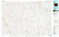 1979 Bill1980 Print · USGSConverse County and the surrounding ranchlands are shown in the late 1970s as industrial mining began to reshape the cattle country. Researchers can trace the Burlington Northern rail line and locate landmarks like the Johnston Mine, Bill, and Red Butte.2 unique versions available
 - 1984 Map of Holdup Hollow
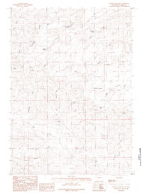 1984 Holdup Hollow1984 Print · USGSConverse County ranching country is captured here during the 1980s, showcasing the high ridges and water sources of the high plains. Researchers can locate remote homesteads like Hylton Ranch and Leuenberger Ranch or trace the geography of Holdup Hollow and Silver Spoon Reservoir.
 - 2021 Map of Holdup Hollow, 2021 Print
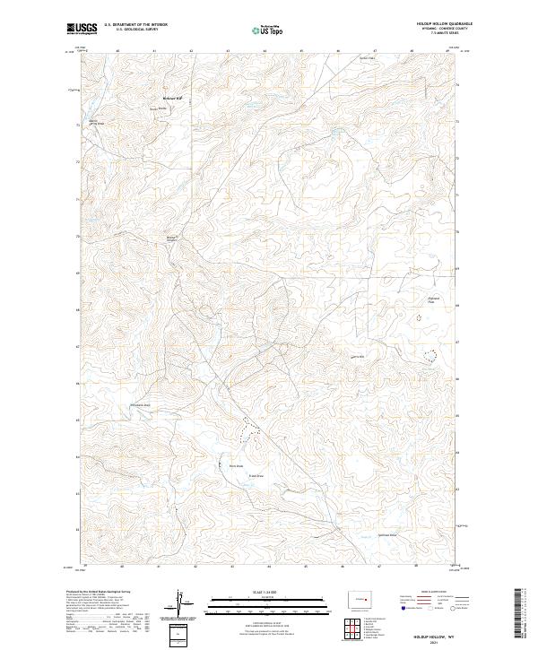 2021 Holdup Hollow2021 Print · USGSConverse County as it appeared in the early 2020s reflects a sparse, ranching-oriented landscape centered on vital water sources and high-ground navigation. Trace the connections between Silver Spoon Reservoir, White Rock Spring, and named terrain like Blizzard Heights.
End of results
Showing maps 1-6 of 6
Top cities near Birkner Hill
Frequently asked questions
- What are the different types of historical maps available for Birkner Hill?
- What is the oldest map of Birkner Hill?
- Where can I purchase historical maps of Birkner Hill for my home or office?
- Where can I download high-res historical maps of Birkner Hill?
- Are there historical topographic maps available for Birkner Hill?
- Is there historical aerial imagery available for Birkner Hill?
- Where are historical maps of Birkner Hill sourced from?