Old Maps of Burris, Wyoming for Metal Detecting
Plan your next treasure hunt with 9 historic maps of Burris. Find old homesites, ghost towns, trails, and gathering spots that may be lost to time — perfect for identifying promising metal detecting locations.
- Locate forgotten sites: Uncover places like long-lost settlements, abandoned rail lines, or gathering spots.
- Plan better hunts: Use map overlays combined with LiDAR or satellite views to narrow in on historically rich areas.
- Made for detectorists: Thousands of hobbyists use these maps to discover relics, coins, and hidden history.
Use these historic maps to boost your research and find new opportunities beneath the surface of Burris.
Burris, WY maps
(9)- 1952 Map of Burris, 1954 Print
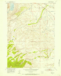 1952 Burris1954 Print · USGSThe Wind River Indian Reservation foothills are captured here in the early fifties, showing the vital irrigation network of the High Plains. Genealogists and local historians can trace family-named sites like Hidden Valley Ranch and the early layout of Burris.4 unique versions available
 - 1955 Map of Thermopolis, 1969 Print
 1955 Thermopolis1969 Print · USGSMid-century Wyoming comes alive in this survey of the Wind River basin and the high Absaroka peaks. Trace the roots of oil and water development through the Hamilton Dome Oil Field and the Boysen Reservoir, or locate local landmarks like the Wyoming Industrial Institute and St. Stephens.2 unique versions available
 - 1958 Map of Thermopolis
 1958 Thermopolis1958 Print · USGSThe Bighorn Basin and Wind River Reservation are shown here in the late fifties, during a period of significant petroleum and agricultural growth. Genealogists and historians can trace rail-towns like Gebo, energy hubs like the Hamilton Dome Oil Field, and the layout of Fort Washakie.2 unique versions available
 - 1962 Map of Thermopolis
 1962 Thermopolis1962 Print · USGSThe Wind River and Bighorn basins are meticulously mapped in the early sixties, showing the vital irrigation and rail networks of the era. Genealogists and historians can locate specific landmarks like the Duncan Ranch School, the Wyoming Industrial Institute, and the Hamilton Dome oil field.
 - 1978 Map of Gannett Peak, 1979 Print
 1978 Gannett Peak1979 Print · USGSThe high peaks of the Wind River Range meet the plains in the late seventies. Researchers can trace the Continental Divide past Gannett Peak or locate riverfront settlements like Crowheart and Burris.2 unique versions available
 - 2012 Map of Burris, 2012 Print
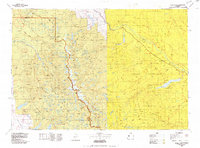
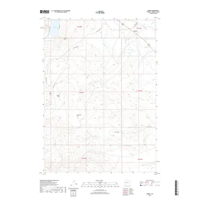
 2012 Burris2012 Print · USGSCovers Burris, including Fremont County, United States, and other nearby areas
 - 2015 Map of Burris, 2015 Print
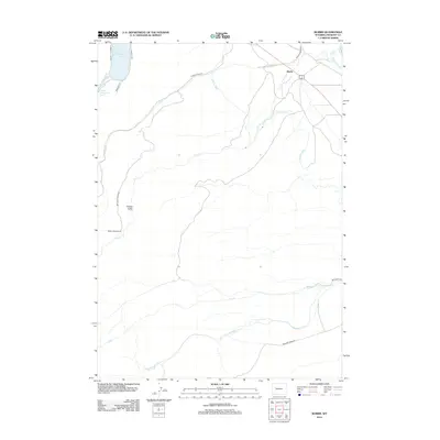
 2015 Burris2015 Print · USGSCovers Burris, including Fremont County, United States, and other nearby areas
 - 2017 Map of Burris, 2017 Print
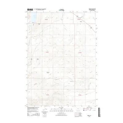
 2017 Burris2017 Print · USGSCovers Burris, including Fremont County, United States, and other nearby areas
 - 2021 Map of Burris, 2021 Print
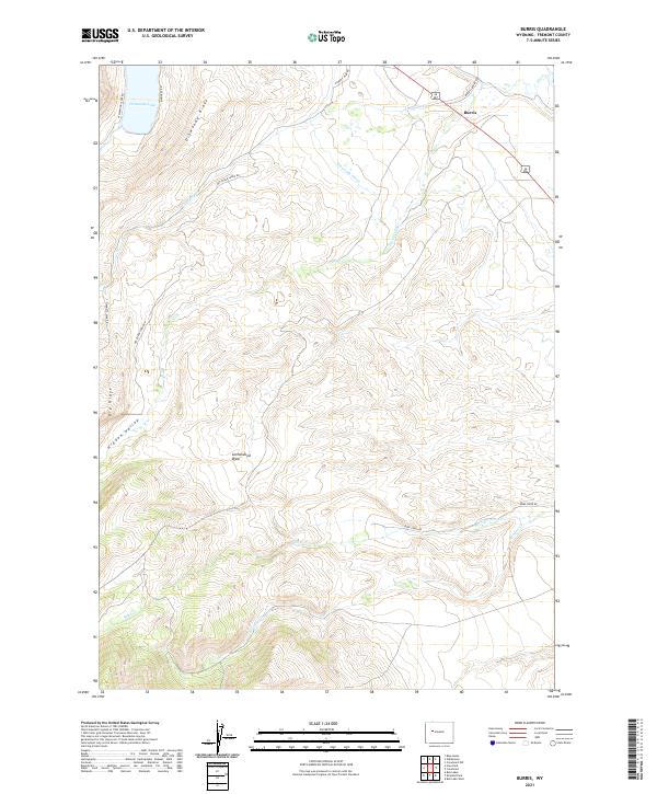 2021 Burris2021 Print · USGSFremont County settlement and high-country water management are captured in the early twenty-first century. Researchers can trace the path of the Dinwoody Canal near Burris or locate family landmarks along Dinwoody Ridge and Hidden Valley.
End of results
Showing maps 1-9 of 9
Frequently asked questions
- What are the different types of historical maps available for Burris?
- What is the oldest map of Burris?
- Where can I purchase historical maps of Burris for my home or office?
- Where can I download high-res historical maps of Burris?
- Are there historical topographic maps available for Burris?
- Is there historical aerial imagery available for Burris?
- Where are historical maps of Burris sourced from?