
1952 Map of Burris
USGS Topo · Published 1954About this map
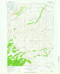
The high desert and foothills of the Wind River Indian Reservation dominate this mid-century survey, revealing the critical intersection of water management and mountain geography. Along the eastern edge, the Wind River Canal and Dinwoody Canal illustrate the engineering effort required to bring water from the high lakes to the arid landscape below. The small settlement of Burris sits near these irrigation systems, while further west, the terrain rises sharply toward Dinwoody Ridge and the glacial waters of Dinwoody Lake.
Find a feature on this map
27 named features on this map. Tap any name to fly to it.
Don’t see what you’re looking for? This feature index may not catch every label — zoom into the map to look around manually.
Map Details
Editions of this 1952 Burris Map
4 editions found
Other maps of this area

1952 · Wilderness
USGS Topo · 1:24,000

1952 · Hays Park
USGS Topo · 1:24,000

1952 · Crowheart NW
USGS Topo · 1:24,000

1952 · Bob Lakes
USGS Topo · 1:24,000

1952 · Bull Lake West
USGS Topo · 1:24,000

1952 · Blue Holes
USGS Topo · 1:24,000

1952 · Crowheart
USGS Topo · 1:24,000

1952 · Kirkland Park
USGS Topo · 1:24,000

1955 · Thermopolis
USGS Topo · 1:250,000

1958 · Thermopolis
USGS Topo · 1:250,000