
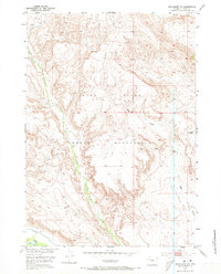
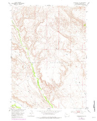
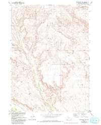
1952 Map of Crowheart NW
USGS Topo · Published 1954About this map
The Wind River Indian Reservation dominates this 1952 study of the high-desert terrain in central Wyoming. The landscape is defined by the winding course of Crow Creek, which cuts through the canyon country in the western half of the map. In the southwest, the irrigation history of the region is visible through Nnigans Ditch, which follows the contours of the land just north of the shifting Sand Dunes. This survey was prepared by the Geological Survey as part of a Department of the Interior program for the development of the Missouri River Basin. The intricate topography shows the transition from the high ridges down to Ega Draw in the east, capturing a moment when cattle ranching and early water management shaped the use of these reservation lands.
Find a feature on this map
7 named features on this map. Tap any name to fly to it.
Don’t see what you’re looking for? This feature index may not catch every label — zoom into the map to look around manually.
Map Details
Editions of this 1952 Crowheart NW Map
4 editions found
Other maps of this area

1904 · Kirwin
USGS Topo · 1:125,000

1906 · Kirwin
USGS Topo · 1:125,000

1952 · Wilderness
USGS Topo · 1:24,000

1952 · Crowheart Butte
USGS Topo · 1:24,000

1952 · Crowheart NE
USGS Topo · 1:24,000

1952 · Crowheart
USGS Topo · 1:24,000

1952 · Burris
USGS Topo · 1:24,000

1955 · Thermopolis
USGS Topo · 1:250,000

1957 · Crowheart NE
USGS Topo · 1:24,000

1958 · Thermopolis
USGS Topo · 1:250,000