
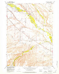
1952 Map of Crowheart
USGS Topo · Published 1954About this map
The Wind River winds through the heart of the Wind River Indian Reservation in this early 1950s survey, showing a landscape defined by its braided river channels and sophisticated irrigation efforts. The small community of Crowheart serves as a central hub, flanked by the St Helen Church and the Burris-Crowheart School. The presence of the Government Ditch Camp and numerous canals running alongside Meadow Creek and Willow Creek highlights the era's focus on water management in the high plains. Further east, the settlement of Lenore sits near the riverbanks, while the surrounding terrain is deeply etched by seasonal watercourses like Cottonwood Draw and Dry Creek, illustrating the complex drainage patterns that shaped local ranching and settlement.
Find a feature on this map
17 named features on this map. Tap any name to fly to it.
Don’t see what you’re looking for? This feature index may not catch every label — zoom into the map to look around manually.
Map Details
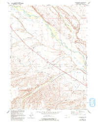
Editions of this 1952 Crowheart Map
3 editions found
Other maps of this area

1951 · Bull Lake East
USGS Topo · 1:24,000

1952 · Wilderness
USGS Topo · 1:24,000

1952 · Crowheart Butte
USGS Topo · 1:24,000

1952 · Crowheart NW
USGS Topo · 1:24,000

1952 · Crowheart NE
USGS Topo · 1:24,000

1952 · Bull Lake West
USGS Topo · 1:24,000

1952 · Burris
USGS Topo · 1:24,000

1952 · Kirkland Park
USGS Topo · 1:24,000

1955 · Thermopolis
USGS Topo · 1:250,000

1957 · Crowheart NE
USGS Topo · 1:24,000