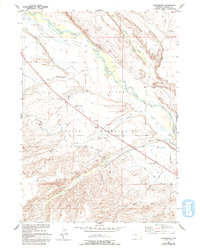
1952 Map of Crowheart
USGS Topo · Published 1993About this map
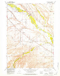
The Wind River Indian Reservation defines this landscape, where the Wind River carves a broad valley through Fremont County. In the early 1950s, the settlement of Crowheart served as a focal point for the community, supported by the St Helen Church and the Burris-Crowheart School. The map reveals a complex system of irrigation and water management essential for life in this arid region, evidenced by the Government Ditch Camp and numerous named draws such as Kane Draw and Cottonwood Draw.
Find a feature on this map
18 named features on this map. Tap any name to fly to it.
Don’t see what you’re looking for? This feature index may not catch every label — zoom into the map to look around manually.
Map Details
Editions of this 1952 Crowheart Map
3 editions found
Other maps of this area

1951 · Bull Lake East
USGS Topo · 1:24,000

1952 · Wilderness
USGS Topo · 1:24,000

1952 · Crowheart Butte
USGS Topo · 1:24,000

1952 · Crowheart NW
USGS Topo · 1:24,000

1952 · Crowheart NE
USGS Topo · 1:24,000

1952 · Bull Lake West
USGS Topo · 1:24,000

1952 · Crowheart
USGS Topo · 1:24,000

1952 · Burris
USGS Topo · 1:24,000

1952 · Kirkland Park
USGS Topo · 1:24,000

1955 · Thermopolis
USGS Topo · 1:250,000