
1952 Map of Crowheart Butte
USGS Topo · Published 1954About this map
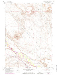
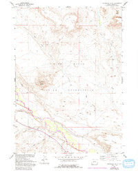
Crowheart Butte stands as a prominent landmark within the Wind River Indian Reservation in this early 1950s survey. The landscape is defined by dramatic elevation changes, where the high ground of Stagner Ridge and Teapot Butte overlooks a complex system of seasonal drainages including Cleveland Draw, Sand Draw, and Ega Draw. These landforms illustrate the erosional character of the Fremont County high desert, where water has carved deep paths toward the river valley below.
Find a feature on this map
13 named features on this map. Tap any name to fly to it.
Don’t see what you’re looking for? This feature index may not catch every label — zoom into the map to look around manually.
Map Details
Editions of this 1952 Crowheart Butte Map
3 editions found
Other maps of this area

1951 · Lookout Butte SW
USGS Topo · 1:24,000

1951 · Bull Lake East
USGS Topo · 1:24,000

1951 · Argo Butte
USGS Topo · 1:24,000

1951 · Maverick Spring
USGS Topo · 1:24,000

1952 · Crowheart NW
USGS Topo · 1:24,000

1952 · Crowheart NE
USGS Topo · 1:24,000

1952 · Bull Lake West
USGS Topo · 1:24,000

1952 · Crowheart
USGS Topo · 1:24,000

1955 · Thermopolis
USGS Topo · 1:250,000

1957 · Crowheart NE
USGS Topo · 1:24,000