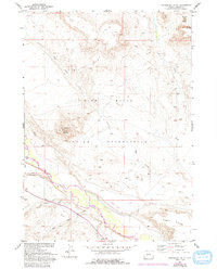
1952 Map of Crowheart Butte
USGS Topo · Published 1993About this map
The Wind River Indian Reservation landscape is defined by the prominent Crowheart Butte and the winding course of the Wind River. This 1952 topographic study, with revisions through the 1970s, illustrates the complex drainage patterns of the high desert basin, where numerous ephemeral watercourses like Ega Draw, Cleveland Draw, and Sand Draw carve through the terrain toward the river valley. To the northeast, the distinct form of Teapot Butte stands near the headwaters of Dry Creek, while the massive Stagner Ridge anchors the southeastern corner of the quadrangle. A remote Landing Strip situated along the river flats suggests the navigational challenges and reliance on small-aircraft transportation in this expansive part of Fremont County during the mid-to-late 20th century.
Find a feature on this map
11 named features on this map. Tap any name to fly to it.
Don’t see what you’re looking for? This feature index may not catch every label — zoom into the map to look around manually.
Map Details
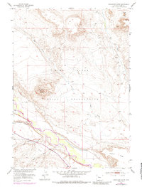
Editions of this 1952 Crowheart Butte Map
3 editions found
Other maps of this area

1951 · Lookout Butte SW
USGS Topo · 1:24,000

1951 · Bull Lake East
USGS Topo · 1:24,000

1951 · Argo Butte
USGS Topo · 1:24,000

1951 · Maverick Spring
USGS Topo · 1:24,000

1952 · Crowheart Butte
USGS Topo · 1:24,000

1952 · Crowheart NW
USGS Topo · 1:24,000

1952 · Crowheart NE
USGS Topo · 1:24,000

1952 · Bull Lake West
USGS Topo · 1:24,000

1952 · Crowheart
USGS Topo · 1:24,000

1955 · Thermopolis
USGS Topo · 1:250,000