
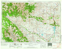
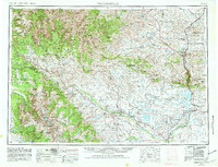
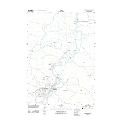
1958 Map of Thermopolis
USGS Topo · Published 1958About this map
The Bighorn River and its major tributary, the Wind River, dominate this mid-century view of Wyoming's interior. Central to the map is the town of Thermopolis, located just north of the Owl Creek Mountains, where the Chicago Burlington and Quincy Railroad follows the river's canyon. The landscape reveals a complex network of mid-century energy infrastructure, marked by the Hamilton Dome Oil Field, Waugh Oil Field, and Circle Ridge Oil Field.
Find a feature on this map
82 named features on this map. Tap any name to fly to it.
Don’t see what you’re looking for? This feature index may not catch every label — zoom into the map to look around manually.
Map Details
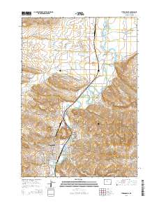
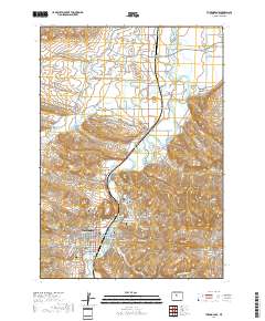
Editions of this 1958 Thermopolis Map
2 editions found
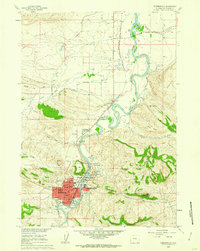
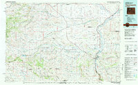
Historical Maps of Riverton Through Time
9 maps found
1955 Thermopolis
Hot Springs County, WY
1958 Thermopolis
Hot Springs County, WY
1960 Thermopolis
Hot Springs County, WY

1962 Thermopolis
Hot Springs County, WY
1981 Thermopolis
Hot Springs County, WY
2012 Thermopolis
Hot Springs County, WY
2015 Thermopolis
Hot Springs County, WY
2017 Thermopolis
Hot Springs County, WY
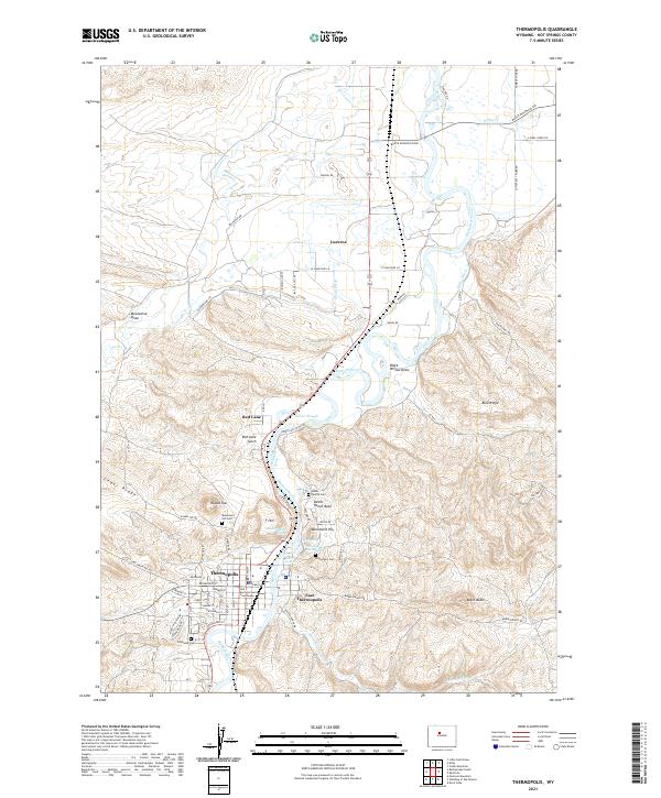
2021 Thermopolis
Hot Springs County, WY