
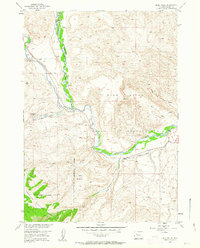
1952 Map of Blue Holes
USGS Topo · Published 1954About this map
The Wind River Indian Reservation dominates this 1952 study area in Fremont County, where the Wind River meets its East Fork and various drainages like Coal Draw. The landscape reveals a transition from managed wilderness to early 20th-century resource extraction, highlighted by an abandoned Coal Mine (Aband) near the Reservation East Boundary. Human activity is further marked by the State Game and Fish Checking Station situated along the river and a small Footbridge downstream. To the southwest, the terrain rises toward Table Mountain as the boundary crosses into the Shoshone National Forest. This mapping, conducted for the Missouri River Basin development program, captures the intricate water management of the era through features like the Red Creek Ditch.
Find a feature on this map
18 named features on this map. Tap any name to fly to it.
Don’t see what you’re looking for? This feature index may not catch every label — zoom into the map to look around manually.
Map Details
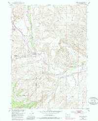
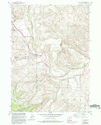
Editions of this 1952 Blue Holes Map
4 editions found
Other maps of this area

1904 · Kirwin
USGS Topo · 1:125,000

1905 · Younts Peak
USGS Topo · 1:125,000

1906 · Kirwin
USGS Topo · 1:125,000

1907 · Younts Peak
USGS Topo · 1:125,000

1909 · Fremont Peak
USGS Topo · 1:125,000

1952 · Wilderness
USGS Topo · 1:24,000

1952 · Hays Park
USGS Topo · 1:24,000

1952 · Burris
USGS Topo · 1:24,000

1955 · Thermopolis
USGS Topo · 1:250,000

1956 · Mason Draw
USGS Topo · 1:24,000