Old Maps of Miners Delight, Wyoming for Genealogy
Trace your family roots with 10 historic maps of Miners Delight. These high-res maps reveal old neighborhoods, homesites, landmarks, and streets — helping you uncover where your ancestors lived and how the area evolved over time.
- Explore historic neighborhoods: Identify where your relatives may have lived in the 1800s or 1900s.
- Compare maps over time: Trace the changes in streets, buildings, and landmarks for multi-generational research.
- Perfect for genealogy & ancestry research: Used by family historians and researchers to map out lineage and migration.
These maps are an incredible resource for exploring your personal connection to Miners Delight's past.
Miners Delight, WY maps
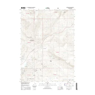
(10)- 1954 Map of Miners Delight, 1956 Print
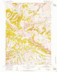 1954 Miners Delight1956 Print · USGSMid-century mining claims and historical sites dot this Wyoming landscape as it appeared during the 1950s. Researchers can trace the legacy of gold extraction through the Miners Delight Mine, locate the Stambaugh (Historical Site), and find a high-country Cem.4 unique versions available
 - 1955 Map of Lander, 1976 Print
 1955 Lander1976 Print · USGSMid-century central Wyoming is captured here as a landscape of high alpine wilderness and burgeoning energy development. Genealogists and historians can trace the path of the Oregon Trail or locate early industrial sites like the Big Sand Draw Oil and Gas Field and the State Training School.2 unique versions available
 - 1958 Map of Lander
 1958 Lander1958 Print · USGSThe high peaks of the Wind River Range meet the Great Divide Basin in the 1950s. Researchers can trace historic migrations past the Oregon Trail Monument or locate early energy infrastructure at the Beaver Creek Gas and Oil Field and the Oregon Trail Oil Field.
 - 1961 Map of Lander
 1961 Lander1961 Print · USGSThe high peaks and desert basins of central Wyoming appear here in the early sixties, showing the landscape of the Shoshone Indian Reservation and the Wind River Range. Researchers can trace the path of the Oregon Trail and locate early settlements like Lander and the mining remains at South Pass City.2 unique versions available
 - 1978 Map of Lander, 1979 Print
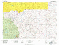 1978 Lander1979 Print · USGSFremont County settlement and energy development are captured here in the late seventies. Trace historic western migrations along the EMIGRANT TRAIL and Baldwin Trail, or locate industrial sites like the Columbia-Geneva Mines and Dallas Oil Field.2 unique versions available
 - 1991 Map of Miners Delight, 1997 Print
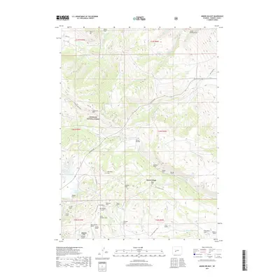
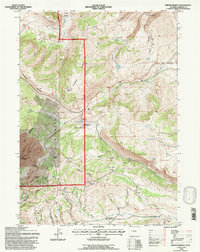 1991 Miners Delight1997 Print · USGSFremont County's gold mining heritage is preserved in this late-century revision of the Shoshone National Forest. Researchers can trace the legacy of the Old West at the Miners Delight historical site and locate specific claims like the Caribou Mine and Diana Mine.
 - 2012 Map of Miners Delight, 2012 Print
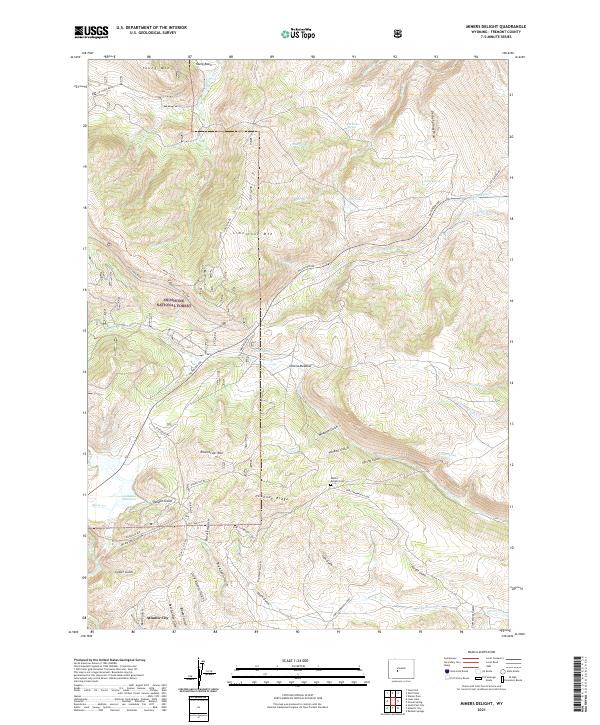
 2012 Miners Delight2012 Print · USGSCovers Miners Delight, including Fremont County, United States, and other nearby areas
 - 2015 Map of Miners Delight, 2015 Print
 2015 Miners Delight2015 Print · USGSCovers Miners Delight, including Fremont County, United States, and other nearby areas
 - 2017 Map of Miners Delight, 2017 Print
 2017 Miners Delight2017 Print · USGSCovers Miners Delight, including Fremont County, United States, and other nearby areas
 - 2021 Map of Miners Delight, 2021 Print
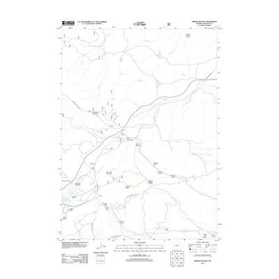
 2021 Miners Delight2021 Print · USGSThe Fremont County high country near Atlantic City is detailed here as it appeared in the early 2020s, showing a landscape defined by its mining and frontier legacy. Researchers can trace historic routes like the Fort Stambaugh Loop and locate the Miners Delight Cem among the numerous named gulches and mountain ridges.
End of results
Showing maps 1-10 of 10
Top cities near Miners Delight
Frequently asked questions
- What are the different types of historical maps available for Miners Delight?
- What is the oldest map of Miners Delight?
- Where can I purchase historical maps of Miners Delight for my home or office?
- Where can I download high-res historical maps of Miners Delight?
- Are there historical topographic maps available for Miners Delight?
- Is there historical aerial imagery available for Miners Delight?
- Where are historical maps of Miners Delight sourced from?