Old Maps of Leckie, Wyoming for Academic Research
Study the evolution of Leckie with 10 high-resolution historic maps. Whether you're teaching, researching, or modeling changes in land use, these maps provide essential visual documentation of urban, environmental, and geographic change.
- Analyze long-term change: Track patterns in development, transportation, and natural features.
- Ideal for environmental or urban studies: Support academic projects with primary historical map data.
- Use in the classroom or lab: Educators and researchers rely on these maps to bring historical context to life.
These maps are a powerful tool for teaching, research, and visualizing how Leckie has changed over the decades.
Leckie, WY maps
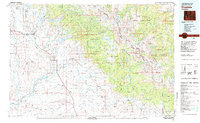
(10)- 1955 Map of Lander, 1976 Print
 1955 Lander1976 Print · USGSMid-century central Wyoming is captured here as a landscape of high alpine wilderness and burgeoning energy development. Genealogists and historians can trace the path of the Oregon Trail or locate early industrial sites like the Big Sand Draw Oil and Gas Field and the State Training School.2 unique versions available
 - 1958 Map of Lander
 1958 Lander1958 Print · USGSThe high peaks of the Wind River Range meet the Great Divide Basin in the 1950s. Researchers can trace historic migrations past the Oregon Trail Monument or locate early energy infrastructure at the Beaver Creek Gas and Oil Field and the Oregon Trail Oil Field.
 - 1961 Map of Lander
 1961 Lander1961 Print · USGSThe high peaks and desert basins of central Wyoming appear here in the early sixties, showing the landscape of the Shoshone Indian Reservation and the Wind River Range. Researchers can trace the path of the Oregon Trail and locate early settlements like Lander and the mining remains at South Pass City.2 unique versions available
 - 1969 Map of Leckie, 1973 Print
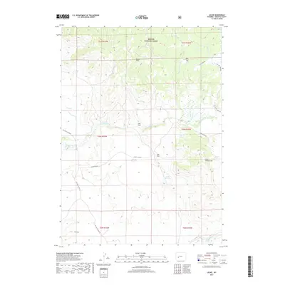
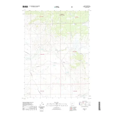
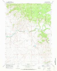 1969 Leckie1973 Print · USGSSublette County high country is documented here in the late sixties, highlighting the vital water sources of the Wyoming basin. Trace the historic path of the Emigrant (Lander Cutoff) Trail as it crosses near Leckie and the Big Sandy River.3 unique versions available
 - 1981 Map of Pinedale, 1982 Print
 1981 Pinedale1982 Print · USGSThe Wind River foothills meet the Wyoming high desert in the early eighties, where cattle ranching and wilderness preservation coexist. Genealogists and historians can trace the historic Oregon Trail or locate family sites near Pinedale, Boulder, and the Wind River Indian Reservation.3 unique versions available
 - 2012 Map of Leckie, 2012 Print
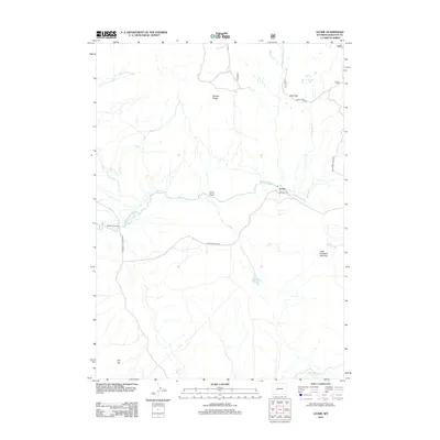 2012 Leckie2012 Print · USGSCovers Leckie, including Sublette County, United States, and other nearby areas
 - 2015 Map of Leckie, 2015 Print
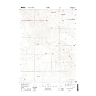 2015 Leckie2015 Print · USGSCovers Leckie, including Sublette County, United States, and other nearby areas
 - 2017 Map of Leckie, 2017 Print
 2017 Leckie2017 Print · USGSCovers Leckie, including Sublette County, United States, and other nearby areas
 - 2021 Map of Leckie, 2021 Print
 2021 Leckie2021 Print · USGSCovers Leckie, including Sublette County, United States, and other nearby areas
 - 2023 Map of Leckie, 2023 Print
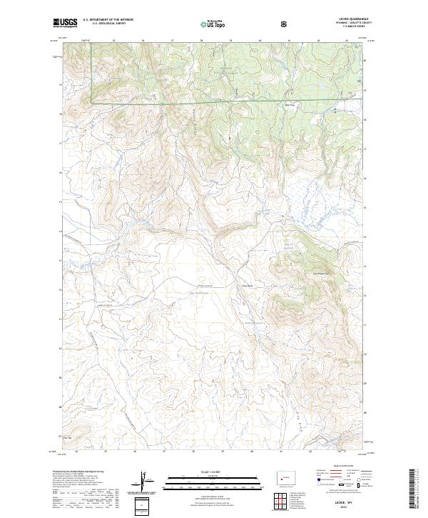 2023 Leckie2023 Print · USGSModern Sublette County is documented here as it appeared in 2023, showing the intersection of historic western routes and high-desert water management. You can trace the path of the Lander Cutoff Rd as it crosses the Big Sandy River near Blue Pit Reservoir.
End of results
Showing maps 1-10 of 10
Frequently asked questions
- What are the different types of historical maps available for Leckie?
- What is the oldest map of Leckie?
- Where can I purchase historical maps of Leckie for my home or office?
- Where can I download high-res historical maps of Leckie?
- Are there historical topographic maps available for Leckie?
- Is there historical aerial imagery available for Leckie?
- Where are historical maps of Leckie sourced from?