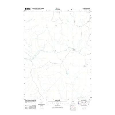
2012 Map of Leckie
USGS Topo · Published 2012About this map
The Big Sandy River and Little Sandy Cr converge within this high-altitude landscape, defining a network of drainages that have long served as vital corridors through Wyoming's interior. The settlement of Leckie sits at a critical junction where the historic Emigrant Trl and the Lander Cutoff Rd intersect, marking paths used by generations of westward travelers. These overland routes are anchored by topographic landmarks like Muddy Ridge to the north and the prominent elevation of Flat Top in the southwest.
Find a feature on this map
23 named features on this map. Tap any name to fly to it.
Don’t see what you’re looking for? This feature index may not catch every label — zoom into the map to look around manually.
Map Details
Editions of this 2012 Leckie Map
This is the sole edition of this map. No revisions or reprints were ever made.
Other maps of this area

1955 · Lander
USGS Topo · 1:250,000

1958 · Lander
USGS Topo · 1:250,000

1958 · Parting of the Ways
USGS Topo · 1:62,500

1961 · Lander
USGS Topo · 1:250,000

1969 · Pocket Creek Lake
USGS Topo · 1:24,000

1969 · Leckie Reservoir
USGS Topo · 1:24,000

1969 · Leckie SW
USGS Topo · 1:24,000

1969 · Jensen Meadows
USGS Topo · 1:24,000

1969 · Tabernacle Butte
USGS Topo · 1:24,000
1969 · Big Sandy Opening
USGS Topo · 1:24,000