
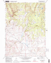
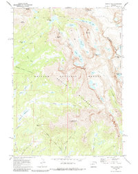
1969 Map of Jensen Meadows
USGS Topo · Published 1973About this map
Continental Divide crests through this high-altitude landscape in Sublette County, marking a fundamental geographic boundary within the Bridger National Forest. The map documents a critical intersection of western migration history, where the Emigrant Trail and the Lander Road traverse the terrain. Notably, the Lander Cutoff is clearly delineated as it passes through Jensen Meadows, following the drainage of Little Sandy Creek.
Find a feature on this map
32 named features on this map. Tap any name to fly to it.
Don’t see what you’re looking for? This feature index may not catch every label — zoom into the map to look around manually.
Map Details
Editions of this 1969 Jensen Meadows Map
2 editions found
Other maps of this area

1953 · Sweetwater Gap
USGS Topo · 1:24,000

1955 · Lander
USGS Topo · 1:250,000

1958 · Lander
USGS Topo · 1:250,000

1958 · Parting of the Ways
USGS Topo · 1:62,500

1961 · Lander
USGS Topo · 1:250,000

1969 · Leckie Reservoir
USGS Topo · 1:24,000
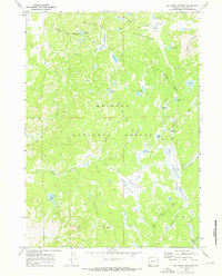
1969 · Big Sandy Opening
USGS Topo · 1:24,000
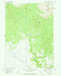
1969 · Sweetwater Needles
USGS Topo · 1:24,000
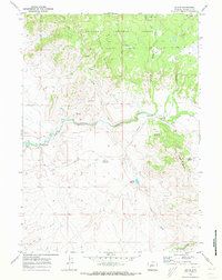
1969 · Leckie
USGS Topo · 1:24,000
1969 · Temple Peak
USGS Topo · 1:24,000