
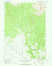
1953 Map of Sweetwater Gap
USGS Topo · Published 1954About this map
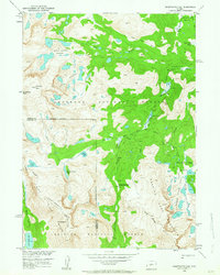
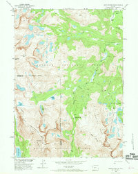
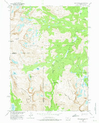
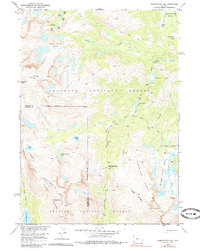
Wind River Range high-country topography is meticulously documented in this mid-century survey, centered on the Continental Divide as it traverses the jagged peaks of the Wyoming Rockies. The map captures the meeting of two major wilderness preserves, the Shoshone National Forest and the Bridger National Forest, at the intersection of Fremont and Sublette counties. The hydrology of the area is particularly complex, featuring high-altitude reservoirs like Deep Creek Lakes and the Ice Lakes, which feed the headwaters of the Middle Fork Popo Agie River.
Find a feature on this map
34 named features on this map. Tap any name to fly to it.
Don’t see what you’re looking for? This feature index may not catch every label — zoom into the map to look around manually.
Map Details
Editions of this 1953 Sweetwater Gap Map
5 editions found
Other maps of this area

1937 · Moccasin Lake
USGS Topo · 1:48,000

1943 · Moccasin Lake
USGS Topo · 1:62,500

1953 · Cony Mountain
USGS Topo · 1:24,000

1953 · Mount Arter
USGS Topo · 1:24,000

1953 · Christina Lake
USGS Topo · 1:24,000

1955 · Lander
USGS Topo · 1:250,000

1958 · Lander
USGS Topo · 1:250,000

1961 · Lander
USGS Topo · 1:250,000

1969 · Jensen Meadows
USGS Topo · 1:24,000
1969 · Sweetwater Needles
USGS Topo · 1:24,000