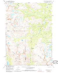
1953 Map of Sweetwater Gap
USGS Topo · Published 1985About this map
The Continental Divide crests through this high-altitude section of the Wind River Range, marking the boundary between the Shoshone National Forest and the Bridger National Forest. Surveyed in the early 1950s, the map reveals a complex glacial landscape where the Sweetwater River and Middle Fork Popo Agie River originate from numerous alpine basins. These waters are fed by clustered tarns such as the Deep Creek Lakes, Ice Lakes, and the Stough Creek Lakes. The terrain is punctuated by high points like Mt Nystrom and the prominent Wind River Peak, while the strategic Sweetwater Gap provides a natural passage through the sawtooth ridges. Early backcountry access is documented through the Pinto Park Trail and Shoshone Trail, which navigate between open meadows like Three Forks Park and Johnson Meadow.
Find a feature on this map
43 named features on this map. Tap any name to fly to it.
Don’t see what you’re looking for? This feature index may not catch every label — zoom into the map to look around manually.
Map Details
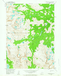
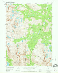
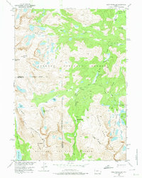
Editions of this 1953 Sweetwater Gap Map
5 editions found
Other maps of this area

1937 · Moccasin Lake
USGS Topo · 1:48,000

1943 · Moccasin Lake
USGS Topo · 1:62,500

1953 · Sweetwater Gap
USGS Topo · 1:24,000

1953 · Cony Mountain
USGS Topo · 1:24,000

1953 · Mount Arter
USGS Topo · 1:24,000

1953 · Christina Lake
USGS Topo · 1:24,000

1955 · Lander
USGS Topo · 1:250,000

1958 · Lander
USGS Topo · 1:250,000

1961 · Lander
USGS Topo · 1:250,000

1969 · Jensen Meadows
USGS Topo · 1:24,000