
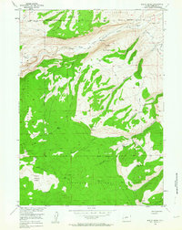
1953 Map of Mount Arter
USGS Topo · Published 1955About this map
Shoshone National Forest dominates this mid-century topographic study, where high-elevation landmarks such as Mount Arter and Suicide Point rise above a landscape defined by sharp canyons and alpine passes. The map documents a critical boundary area where the Wind River Indian Reservation Boundary meets the forest edge near the North Fork Popo Agie River.
Find a feature on this map
33 named features on this map. Tap any name to fly to it.
Don’t see what you’re looking for? This feature index may not catch every label — zoom into the map to look around manually.
Map Details
Editions of this 1953 Mount Arter Map
4 editions found
Other maps of this area

1937 · Moccasin Lake
USGS Topo · 1:48,000

1943 · Moccasin Lake
USGS Topo · 1:62,500

1952 · Ray Lake
USGS Topo · 1:24,000

1952 · Wind River
USGS Topo · 1:24,000

1953 · Sweetwater Gap
USGS Topo · 1:24,000

1953 · Cony Mountain
USGS Topo · 1:24,000

1953 · Fossil Hill
USGS Topo · 1:24,000

1953 · Mount Arter SE
USGS Topo · 1:24,000

1955 · Lander
USGS Topo · 1:250,000

1958 · Lander
USGS Topo · 1:250,000