
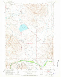
1952 Map of Ray Lake
USGS Topo · Published 1954About this map
The Wind River Indian Reservation dominates this central Wyoming landscape, where the high desert meets the irrigated valleys of the early 1950s. The map reveals a complex water management system essential for agriculture in this arid environment, featuring the Dead Horse Ditch and numerous unnamed canals feeding off Trout Creek and the North Popo Agie River. Centered around Ray Lake, the terrain transitions from the low-lying Slough and White Horse Draw to the elevated Sand Hills in the southeast.
Find a feature on this map
23 named features on this map. Tap any name to fly to it.
Don’t see what you’re looking for? This feature index may not catch every label — zoom into the map to look around manually.
Map Details
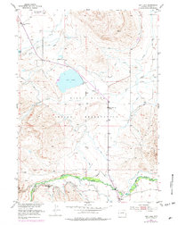
Editions of this 1952 Ray Lake Map
3 editions found
Other maps of this area

1951 · Mule Butte
USGS Topo · 1:24,000

1951 · Fort Washakie
USGS Topo · 1:24,000

1951 · Ethete
USGS Topo · 1:24,000

1952 · Wind River
USGS Topo · 1:24,000

1952 · Lander
USGS Topo · 1:24,000

1952 · Lander NW
USGS Topo · 1:24,000

1953 · Mount Arter
USGS Topo · 1:24,000

1953 · Mount Arter SE
USGS Topo · 1:24,000

1955 · Thermopolis
USGS Topo · 1:250,000

1955 · Lander
USGS Topo · 1:250,000