
1952 Map of Lander NW
USGS Topo · Published 1954About this map
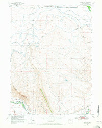
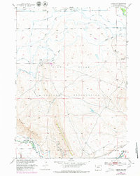
The Wind River Indian Reservation in the early 1950s reveals a landscape defined by water management and mineral extraction. Irrigation infrastructure, including a Flume and several ditches like the Hansen Drain, cuts across the terrain to support the valley. The presence of the Lower Mill Creek Sch and Blessed Sacrament Church near the northern boundary marks the social hubs of this rural community, while the Plunket Oil Wells and scattered Oil Wells to the south indicate the region's developing petroleum industry.
Find a feature on this map
19 named features on this map. Tap any name to fly to it.
Don’t see what you’re looking for? This feature index may not catch every label — zoom into the map to look around manually.
Map Details
Editions of this 1952 Lander NW Map
3 editions found
Other maps of this area

1951 · Mule Butte
USGS Topo · 1:24,000

1951 · Pavillion SE
USGS Topo · 1:24,000

1951 · Ethete
USGS Topo · 1:24,000

1952 · Hudson
USGS Topo · 1:24,000

1952 · Ray Lake
USGS Topo · 1:24,000

1952 · Lander SE
USGS Topo · 1:24,000

1952 · Lander
USGS Topo · 1:24,000

1953 · Mount Arter SE
USGS Topo · 1:24,000

1955 · Thermopolis
USGS Topo · 1:250,000

1955 · Lander
USGS Topo · 1:250,000