
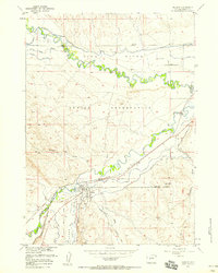
1952 Map of Lander SE
USGS Topo · Published 1954About this map
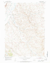
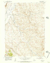
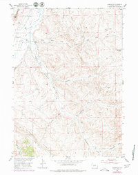
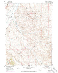
The Popo Agie River and Little Popo Agie River define this Fremont County landscape during the early 1950s, where water management and resource extraction shaped local settlement. Agricultural activity is anchored by the Hall Ranch in the north, supported by a network of irrigation channels including Wise Ditch, Millard Ditch, and Lyons Ditch. The map illustrates the region's reliance on these systems to sustain life within the Lyons Valley. To the east and south, the terrain rises toward Blue Ridge, cut by numerous dry coulees such as Coal Mine Draw and Monument Draw. Industrial sites like the Williams Mine, a separate Coal Mine, and a Gravel Pit indicate the mid-century extraction economy. Natural water sources like Carr Springs provide vital points of interest in an otherwise arid and dissected topographic environment.
Find a feature on this map
20 named features on this map. Tap any name to fly to it.
Don’t see what you’re looking for? This feature index may not catch every label — zoom into the map to look around manually.
Map Details
Editions of this 1952 Lander SE Map
5 editions found
Other maps of this area

1952 · Hudson
USGS Topo · 1:24,000

1952 · Lander
USGS Topo · 1:24,000

1952 · Lander NW
USGS Topo · 1:24,000

1953 · Ninemile Hill
USGS Topo · 1:24,000

1953 · Arapahoe
USGS Topo · 1:24,000

1953 · Del Monte Ridge
USGS Topo · 1:24,000

1953 · Weiser Pass
USGS Topo · 1:24,000

1954 · Wolf Point
USGS Topo · 1:24,000

1955 · Lander
USGS Topo · 1:250,000
1957 · Hudson
USGS Topo · 1:24,000