
1953 Map of Weiser Pass
USGS Topo · Published 1955About this map
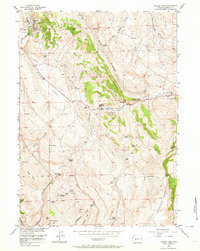
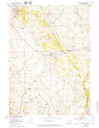
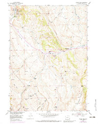
The Dallas Oil Field and Derby Dome Oil Fields define the industrial footprint of this central Wyoming landscape in the early 1950s. Located along the Little Popo Agie River, the Dallas field is detailed with an array of Oil Wells, a Refinery, and a Water Pumping Station, while the Derby Dome site to the south includes an Oil Tank and additional wells. These energy developments contrast with the established ranching culture of the region, where family operations like the Hancock Ranch, Matteson Ranch, and Weiser Ranch are scattered across the creek-fed drainages.
Find a feature on this map
57 named features on this map. Tap any name to fly to it.
Don’t see what you’re looking for? This feature index may not catch every label — zoom into the map to look around manually.
Map Details
Editions of this 1953 Weiser Pass Map
4 editions found
Other maps of this area

1952 · Lander SE
USGS Topo · 1:24,000

1952 · Lander
USGS Topo · 1:24,000

1953 · Ninemile Hill
USGS Topo · 1:24,000

1953 · Gravel Spring
USGS Topo · 1:24,000

1953 · Schlichting Mountain
USGS Topo · 1:24,000

1953 · Del Monte Ridge
USGS Topo · 1:24,000

1954 · Wolf Point
USGS Topo · 1:24,000

1954 · Miners Delight
USGS Topo · 1:24,000

1955 · Lander
USGS Topo · 1:250,000

1958 · Lander
USGS Topo · 1:250,000