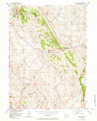
1953 Map of Weiser Pass
USGS Topo · Published 1964About this map
Dallas Oil Field and the Derby Dome Oil Field dominate the industrial landscape of this Fremont County region during the early 1950s. The petroleum infrastructure is visible through numerous oil wells, a Refinery, and a Water Pumping Station, reflecting the mid-century energy production in the Wyoming basins. This industrial activity contrasts with the traditional livestock economy represented by a string of family-named outposts along the watercourses, including Matteson Ranch, McKinney Ranch, and Weiser Ranch.
Find a feature on this map
49 named features on this map. Tap any name to fly to it.
Don’t see what you’re looking for? This feature index may not catch every label — zoom into the map to look around manually.
Map Details
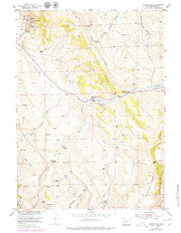
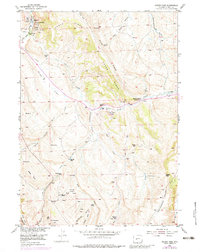
Editions of this 1953 Weiser Pass Map
4 editions found
Other maps of this area

1952 · Lander SE
USGS Topo · 1:24,000

1952 · Lander
USGS Topo · 1:24,000

1953 · Ninemile Hill
USGS Topo · 1:24,000

1953 · Gravel Spring
USGS Topo · 1:24,000

1953 · Schlichting Mountain
USGS Topo · 1:24,000

1953 · Del Monte Ridge
USGS Topo · 1:24,000

1953 · Weiser Pass
USGS Topo · 1:24,000

1954 · Wolf Point
USGS Topo · 1:24,000

1954 · Miners Delight
USGS Topo · 1:24,000

1955 · Lander
USGS Topo · 1:250,000