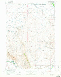
1952 Map of Lander NW
USGS Topo · Published 1973About this map
The Wind River Indian Reservation landscape is defined by its complex irrigation network and emerging energy infrastructure in the early 1950s. Agriculture is supported by the Coolidge Canal, Hansen DITCH, and Mill Creek, while the presence of the Chicago and North Western railroad provides a connection to the broader region. Local community life is centered around institutions like the Blessed Sacrament Church and the Lower Mill Creek Sch. The industrial character of the area is highlighted by the Plunket Oil Wells and other numerous Oil Wells, contrasting with older extraction sites like the Coal Mines (inactive). The confluence of the North Popo Agie River and Little Wind River provides the primary drainage for this transition zone between high-plains ranching and mineral exploration.
Find a feature on this map
22 named features on this map. Tap any name to fly to it.
Don’t see what you’re looking for? This feature index may not catch every label — zoom into the map to look around manually.
Map Details
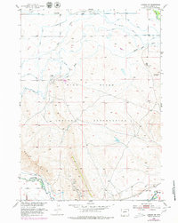
Editions of this 1952 Lander NW Map
3 editions found
Other maps of this area

1951 · Mule Butte
USGS Topo · 1:24,000

1951 · Pavillion SE
USGS Topo · 1:24,000

1951 · Ethete
USGS Topo · 1:24,000

1952 · Hudson
USGS Topo · 1:24,000

1952 · Ray Lake
USGS Topo · 1:24,000

1952 · Lander SE
USGS Topo · 1:24,000

1952 · Lander
USGS Topo · 1:24,000

1952 · Lander NW
USGS Topo · 1:24,000

1953 · Mount Arter SE
USGS Topo · 1:24,000

1955 · Thermopolis
USGS Topo · 1:250,000