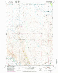
1952 Map of Lander NW
USGS Topo · Published 1979About this map
The Wind River Indian Reservation landscape is defined by its complex water management system and early industrial development in central Wyoming. This mid-century survey documents an intricate network of irrigation and drainage infrastructure, including the Coolidge Canal, Coolidge Ditch, and Hansen Drain, which direct water from the Little Wind River and Popo Agie River across the arid terrain.
Find a feature on this map
19 named features on this map. Tap any name to fly to it.
Don’t see what you’re looking for? This feature index may not catch every label — zoom into the map to look around manually.
Map Details
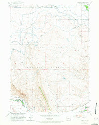
Editions of this 1952 Lander NW Map
3 editions found
Other maps of this area

1951 · Mule Butte
USGS Topo · 1:24,000

1951 · Pavillion SE
USGS Topo · 1:24,000

1951 · Ethete
USGS Topo · 1:24,000

1952 · Hudson
USGS Topo · 1:24,000

1952 · Ray Lake
USGS Topo · 1:24,000

1952 · Lander SE
USGS Topo · 1:24,000

1952 · Lander
USGS Topo · 1:24,000

1952 · Lander NW
USGS Topo · 1:24,000

1953 · Mount Arter SE
USGS Topo · 1:24,000

1955 · Thermopolis
USGS Topo · 1:250,000