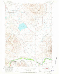
1952 Map of Ray Lake
USGS Topo · Published 1973About this map
The Wind River Indian Reservation landscape is defined by its complex irrigation network and educational outposts in the early 1950s. Water management is central to life here, evidenced by the Dead Horse Ditch and the reservoir at Ray Lake, which feed the surrounding agricultural allotments. Educational and community centers serve the dispersed population, including the Wind River Day School in the north and the Upper Mill Creek School near the center of the sheet.
Find a feature on this map
21 named features on this map. Tap any name to fly to it.
Don’t see what you’re looking for? This feature index may not catch every label — zoom into the map to look around manually.
Map Details
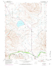
Editions of this 1952 Ray Lake Map
3 editions found
Other maps of this area

1951 · Mule Butte
USGS Topo · 1:24,000

1951 · Fort Washakie
USGS Topo · 1:24,000

1951 · Ethete
USGS Topo · 1:24,000

1952 · Ray Lake
USGS Topo · 1:24,000

1952 · Wind River
USGS Topo · 1:24,000

1952 · Lander
USGS Topo · 1:24,000

1952 · Lander NW
USGS Topo · 1:24,000

1953 · Mount Arter
USGS Topo · 1:24,000

1953 · Mount Arter SE
USGS Topo · 1:24,000

1955 · Thermopolis
USGS Topo · 1:250,000