
1953 Map of Fossil Hill
USGS Topo · Published 1955About this map
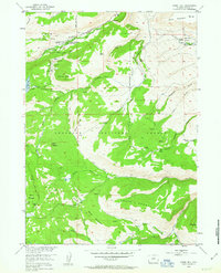
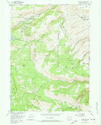
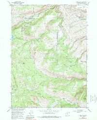
Fossil Hill dominates the center of this 1953 survey, which documents a landscape of alpine research and early ranching within the Shoshone National Forest. This region of the Wind River Range is characterized by the unique hydrology of the Middle Fork Popo Agie River, including the geologic curiosity known as The Sinks. Academic and administrative presence is noted at the University of Missouri Geology Camp and the Middle Fork Guard Station, indicating the area's importance for both scientific study and forest management.
Find a feature on this map
50 named features on this map. Tap any name to fly to it.
Don’t see what you’re looking for? This feature index may not catch every label — zoom into the map to look around manually.
Map Details
Editions of this 1953 Fossil Hill Map
4 editions found
Other maps of this area

1952 · Lander
USGS Topo · 1:24,000

1953 · Cony Mountain
USGS Topo · 1:24,000

1953 · Mount Arter
USGS Topo · 1:24,000

1953 · Louis Lake
USGS Topo · 1:24,000

1953 · Christina Lake
USGS Topo · 1:24,000

1953 · Mount Arter SE
USGS Topo · 1:24,000

1954 · Wolf Point
USGS Topo · 1:24,000

1954 · Miners Delight
USGS Topo · 1:24,000

1955 · Lander
USGS Topo · 1:250,000

1958 · Lander
USGS Topo · 1:250,000