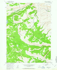
1953 Map of Fossil Hill
USGS Topo · Published 1963About this map
The Shoshone National Forest landscape in the early 1950s was a hub for both institutional study and remote ranching. The presence of the University of Missouri Geology Camp near the Middle Fork Popo Agie River highlights the region's importance as a natural laboratory, while the Middle Fork Guard Station and Meyer Lookout demonstrate the structured management of this wilderness. Notable geological and water features define the terrain, including the dramatic hydrology of The Sinks and the high elevation of Fossil Hill. Ranching life is documented at the Eversole Ranch in Harvey Basin, with the Enterprise Ditch illustrating the early efforts to manage water resources for the high country. Trails and stock driveways weave through Burnt Gulch and across Indian Ridge, connecting these isolated outposts.
Find a feature on this map
48 named features on this map. Tap any name to fly to it.
Don’t see what you’re looking for? This feature index may not catch every label — zoom into the map to look around manually.
Map Details
Editions of this 1953 Fossil Hill Map
4 editions found
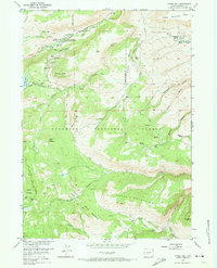
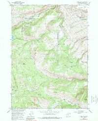
Other maps of this area

1952 · Lander
USGS Topo · 1:24,000

1953 · Cony Mountain
USGS Topo · 1:24,000

1953 · Mount Arter
USGS Topo · 1:24,000

1953 · Fossil Hill
USGS Topo · 1:24,000

1953 · Louis Lake
USGS Topo · 1:24,000

1953 · Christina Lake
USGS Topo · 1:24,000

1953 · Mount Arter SE
USGS Topo · 1:24,000

1954 · Wolf Point
USGS Topo · 1:24,000

1954 · Miners Delight
USGS Topo · 1:24,000

1955 · Lander
USGS Topo · 1:250,000