
1953 Map of Louis Lake
USGS Topo · Published 1955About this map
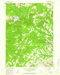
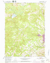
Louis Lake serves as the central hub of this high-elevation landscape within the Shoshone National Forest, as documented in the early 1950s. The presence of the Louis Lake Resort and a Guard Station reflects the area's mid-century role as a center for forest management and mountain recreation. Water management is a defining characteristic of the terrain, evidenced by the Keeling Ditch and a dense network of drainages including the Little Popo Agie River and Rock Creek.
Find a feature on this map
24 named features on this map. Tap any name to fly to it.
Don’t see what you’re looking for? This feature index may not catch every label — zoom into the map to look around manually.
Map Details
Editions of this 1953 Louis Lake Map
3 editions found
Other maps of this area

1953 · Cony Mountain
USGS Topo · 1:24,000

1953 · Atlantic City
USGS Topo · 1:24,000

1953 · Fossil Hill
USGS Topo · 1:24,000

1953 · South Pass City
USGS Topo · 1:24,000

1953 · Christina Lake
USGS Topo · 1:24,000

1954 · Wolf Point
USGS Topo · 1:24,000

1954 · Miners Delight
USGS Topo · 1:24,000

1955 · Lander
USGS Topo · 1:250,000

1958 · Lander
USGS Topo · 1:250,000

1961 · Lander
USGS Topo · 1:250,000