
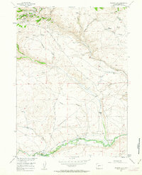
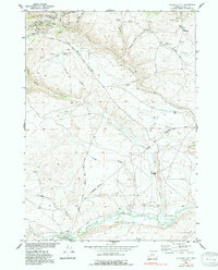
1953 Map of Atlantic City
USGS Topo · Published 1955About this map
Atlantic City sits at the northern edge of this high-plateau landscape, a settlement deeply shaped by the mining industry. The 1953 survey captures the complex network of extraction sites surrounding the town, including the Tabor Grand Mine, Mary Ellen Mine, and the St Louis Mine, all supported by a Custom Mill at Rock Creek. To the south, the terrain descends toward the Sweetwater River, where the historic path of the Oregon Trail is traced across the landscape. Along this corridor, legacy sites like the Burnt Ranch (Historical) and the Burnt Ranch Historical Monument mark the intersection of pioneer migration and cattle ranching. Scattered homesteads such as the Obert Homestead and Hyde Homestead illustrate the isolated agricultural efforts made in the shadow of Anthony Ridge and various gulches. The survey provides an invaluable record of family-named landmarks and historical crossings like Last Crossing No 9 before the modern era.
Find a feature on this map
35 named features on this map. Tap any name to fly to it.
Don’t see what you’re looking for? This feature index may not catch every label — zoom into the map to look around manually.
Map Details
Editions of this 1953 Atlantic City Map
3 editions found
Other maps of this area

1953 · Gravel Spring
USGS Topo · 1:24,000

1953 · Radium Springs
USGS Topo · 1:24,000

1953 · Louis Lake
USGS Topo · 1:24,000

1953 · South Pass City
USGS Topo · 1:24,000

1954 · Miners Delight
USGS Topo · 1:24,000

1955 · Lander
USGS Topo · 1:250,000

1958 · Lander
USGS Topo · 1:250,000

1958 · Circle Bar Lake
USGS Topo · 1:24,000

1958 · Dickie Springs
USGS Topo · 1:24,000

1958 · Continental Peak
USGS Topo · 1:24,000