
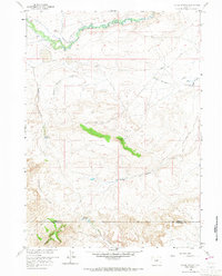
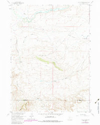
1958 Map of Dickie Springs
USGS Topo · Published 1960About this map
The Continental Divide winds through this high desert landscape, marking the historic threshold of the American West. The northern reaches are dominated by the Sweetwater River, where the Hay Ranch stands near the intersection of the legendary Emigrant Trail and Oregon Trail. These paths, etched into the terrain by decades of wagon travel, follow the natural drainage of Dickie Springs and Fish Creek, illustrating the critical role of water sources in overland migration.
Find a feature on this map
20 named features on this map. Tap any name to fly to it.
Don’t see what you’re looking for? This feature index may not catch every label — zoom into the map to look around manually.
Map Details
Editions of this 1958 Dickie Springs Map
3 editions found
Other maps of this area

1953 · Atlantic City
USGS Topo · 1:24,000

1953 · South Pass City
USGS Topo · 1:24,000

1955 · Lander
USGS Topo · 1:250,000

1958 · Lander
USGS Topo · 1:250,000

1958 · Pacific Springs
USGS Topo · 1:24,000

1958 · Freighter Gap
USGS Topo · 1:62,500

1958 · The Pinnacles
USGS Topo · 1:62,500

1958 · Continental Peak
USGS Topo · 1:24,000

1961 · Lander
USGS Topo · 1:250,000
1984 · South Pass
USGS Topo · 1:100,000