
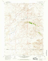
1958 Map of Pacific Springs
USGS Topo · Published 1960About this map
South Pass and the surrounding high desert of the Continental Divide dominate this 1958 survey, capturing a landscape deeply etched by westward expansion. The map serves as a geographic record of the western migration corridor, prominently featuring the Emigrant Trail as it crosses from the Sweetwater River drainage over the divide. Notable historical markers are documented throughout, including the Summit of the Original South Pass and a Pioneer Grave near Hay Meadow Reservoir.
Find a feature on this map
23 named features on this map. Tap any name to fly to it.
Don’t see what you’re looking for? This feature index may not catch every label — zoom into the map to look around manually.
Map Details
Editions of this 1958 Pacific Springs Map
3 editions found
Other maps of this area

1953 · South Pass City
USGS Topo · 1:24,000

1955 · Lander
USGS Topo · 1:250,000

1958 · Lander
USGS Topo · 1:250,000

1958 · Parting of the Ways
USGS Topo · 1:62,500

1958 · Essex Mountain
USGS Topo · 1:62,500

1958 · Hay Meadow Reservoir
USGS Topo · 1:24,000

1958 · Freighter Gap
USGS Topo · 1:62,500

1958 · Dickie Springs
USGS Topo · 1:24,000

1961 · Lander
USGS Topo · 1:250,000
1980 · Farson
USGS Topo · 1:100,000