Old Maps of Last Crossing Ford Number 9, Wyoming
Explore 9 old maps of Last Crossing Ford Number 9, spanning from 1953 to today. These high-resolution historic maps reveal how streets, neighborhoods, landmarks, and natural features evolved over time — perfect for genealogy, metal detecting, research, and local history exploration.
What you can do with these maps:
- See how Last Crossing Ford Number 9 changed over time: Compare historical maps to modern-day views to trace roads, homesites, rail lines & more.
- View detailed metadata: Each map includes creators, publishers, year, scale, and archive source.
- Overlay maps with satellite & LiDAR: Visualize the past alongside modern tools to explore terrain & human change.
- Trusted historical sources: Maps sourced from the USGS, Library of Congress, and other archives.
- Access maps your way: View online, download high-res files, or order prints for personal or research use.
Start exploring old maps of Last Crossing Ford Number 9 to uncover forgotten places, hidden landmarks, and the deep history beneath your feet.
Last Crossing Ford Number 9, WY maps
(9)- 1953 Map of Atlantic City, 1955 Print
 1953 Atlantic City1955 Print · USGSAtlantic City and the South Pass region are documented here in the early fifties, where high-altitude mining met the path of westward expansion. Genealogists and historians can trace family-named sites like the Obert Homestead and Carpenter Ranch or locate the historic Oregon Trail crossing at Burnt Ranch.3 unique versions available
 - 1955 Map of Lander, 1976 Print
 1955 Lander1976 Print · USGSMid-century central Wyoming is captured here as a landscape of high alpine wilderness and burgeoning energy development. Genealogists and historians can trace the path of the Oregon Trail or locate early industrial sites like the Big Sand Draw Oil and Gas Field and the State Training School.2 unique versions available
 - 1958 Map of Lander
 1958 Lander1958 Print · USGSThe high peaks of the Wind River Range meet the Great Divide Basin in the 1950s. Researchers can trace historic migrations past the Oregon Trail Monument or locate early energy infrastructure at the Beaver Creek Gas and Oil Field and the Oregon Trail Oil Field.
 - 1961 Map of Lander
 1961 Lander1961 Print · USGSThe high peaks and desert basins of central Wyoming appear here in the early sixties, showing the landscape of the Shoshone Indian Reservation and the Wind River Range. Researchers can trace the path of the Oregon Trail and locate early settlements like Lander and the mining remains at South Pass City.2 unique versions available
 - 1984 Map of South Pass
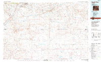 1984 South Pass1984 Print · USGSThe high Wyoming desert during the 1980s reveals a landscape where pioneer history and industrial mining converge. Trace the original paths of the Oregon Trail and Emigrant Trail past historic sites like South Pass City and the Tabor Grand Mine.2 unique versions available
 - 2012 Map of Atlantic City, 2012 Print
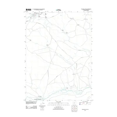 2012 Atlantic City2012 Print · USGSAtlantic City and the high plains of Fremont County are captured here in the early twenty-first century, showing a landscape defined by historic trails and modern ranching. Genealogists and historians can trace family land at the Obert Homestead or Carpenter Ranch, and follow the legendary path of the Oregon Trl.
 - 2015 Map of Atlantic City, 2015 Print
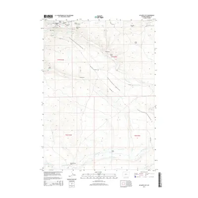 2015 Atlantic City2015 Print · USGSAtlantic City and the high Wyoming plains appear here in the early twenty-first century, showing the intersection of historic trails and modern conservation. Researchers can trace the Continental Divide Trail and the legacy of early ranching and mining through features like Burnt Ranch Ditch and Beer Garden Gulch.
 - 2017 Map of Atlantic City, 2017 Print
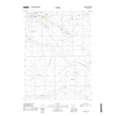 2017 Atlantic City2017 Print · USGSAtlantic City and the surrounding Fremont County high country are captured here in the 2010s, showing a landscape rich with frontier transit history. Researchers can trace the path of the Oregon Trl and the Point of Rocks South Pass Stag Rd as they navigate around Beer Garden Gulch and the Sweetwater River.
 - 2021 Map of Atlantic City, 2021 Print
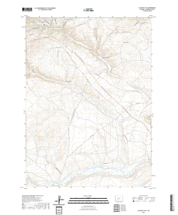 2021 Atlantic City2021 Print · USGSAtlantic City and the high Wyoming plains appear in this recent survey of a landscape defined by historic western migration. Researchers can trace the original Oregon Trl and Point Of Rocks South Pass Stag Rd as they cross the Sweetwater River and Rock Cr.
End of results
Showing maps 1-9 of 9
Top cities near Last Crossing Ford Number 9
Frequently asked questions
- What are the different types of historical maps available for Last Crossing Ford Number 9?
- What is the oldest map of Last Crossing Ford Number 9?
- Where can I purchase historical maps of Last Crossing Ford Number 9 for my home or office?
- Where can I download high-res historical maps of Last Crossing Ford Number 9?
- Are there historical topographic maps available for Last Crossing Ford Number 9?
- Is there historical aerial imagery available for Last Crossing Ford Number 9?
- Where are historical maps of Last Crossing Ford Number 9 sourced from?