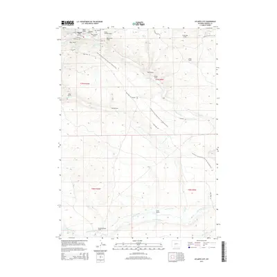
2015 Map of Atlantic City
USGS Topo · Published 2015About this map
Atlantic City sits near the headwaters of numerous drainages in this Fremont County landscape, where the high-altitude terrain is carved by dozens of named gulches and historic water-diversion systems. The map documents an intricate network of man-made waterways like the Rock Cr Ditch, Beaver Dam Ditch, and Burnt Ranch Ditch, reflecting the critical importance of water management in this arid region. The southern portion of the quadrangle is defined by the winding course of the Sweetwater River and the Long Slough.
Find a feature on this map
37 named features on this map. Tap any name to fly to it.
Don’t see what you’re looking for? This feature index may not catch every label — zoom into the map to look around manually.
Map Details
Editions of this 2015 Atlantic City Map
This is the sole edition of this map. No revisions or reprints were ever made.
Other maps of this area

1953 · Gravel Spring
USGS Topo · 1:24,000

1953 · Radium Springs
USGS Topo · 1:24,000

1953 · Atlantic City
USGS Topo · 1:24,000

1953 · Louis Lake
USGS Topo · 1:24,000

1953 · South Pass City
USGS Topo · 1:24,000

1954 · Miners Delight
USGS Topo · 1:24,000

1955 · Lander
USGS Topo · 1:250,000

1958 · Lander
USGS Topo · 1:250,000

1958 · Circle Bar Lake
USGS Topo · 1:24,000

1958 · Dickie Springs
USGS Topo · 1:24,000