
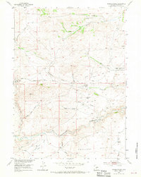
1953 Map of Radium Springs
USGS Topo · Published 1954About this map
The Oregon Trail cuts a historic path across this high-plains landscape in the early 1950s, passing the Mormon Cemetery as it follows the drainage of Strawberry Creek. This area of Fremont County shows a transition from pioneering transit to early 20th-century mining and ranching, evidenced by the clustered workings of the Bullion Mine, Hidden Hand Mine, and Burr Mine. These sites are concentrated near the former settlement of Lewiston.
Find a feature on this map
31 named features on this map. Tap any name to fly to it.
Don’t see what you’re looking for? This feature index may not catch every label — zoom into the map to look around manually.
Map Details
Editions of this 1953 Radium Springs Map
3 editions found
Other maps of this area

1953 · Lewiston Lakes
USGS Topo · 1:24,000

1953 · Gravel Spring
USGS Topo · 1:24,000

1953 · Schlichting Mountain
USGS Topo · 1:24,000

1953 · Atlantic City
USGS Topo · 1:24,000

1954 · Miners Delight
USGS Topo · 1:24,000

1955 · Lander
USGS Topo · 1:250,000

1958 · Lander
USGS Topo · 1:250,000
1958 · Schoettlin Mountain
USGS Topo · 1:24,000

1958 · Circle Bar Lake
USGS Topo · 1:24,000

1958 · Continental Peak
USGS Topo · 1:24,000