
1953 Map of Cony Mountain
USGS Topo · Published 1955About this map
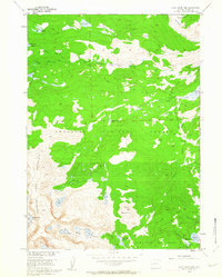
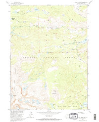
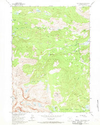
Shoshone National Forest defines this high-elevation landscape, where the Middle Popo Agie River carves through the terrain toward the dramatic Popo Agie Falls. In the early 1950s, this region of the Wind River Range served as a vital recreational and agricultural resource, evidenced by the Fremont County Youth Camp and the intricate Enterprise Supply Ditch system. The map documents a network of historic pathways, including the Petes Lake Trail and Shoshone Trail, which provided access to remote alpine basins and meadows such as Wild Horse Meadow and Upper Hudson Meadow. From the summit of Cony Mountain down to the Little Popo Agie Basin, the geography is characterized by glacial lakes like Fiddlers Lake and Leg Lake, connected by rugged drainages such as Silas Canyon and Atlantic Canyon.
Find a feature on this map
40 named features on this map. Tap any name to fly to it.
Don’t see what you’re looking for? This feature index may not catch every label — zoom into the map to look around manually.
Map Details
Editions of this 1953 Cony Mountain Map
4 editions found
Other maps of this area

1937 · Moccasin Lake
USGS Topo · 1:48,000

1943 · Moccasin Lake
USGS Topo · 1:62,500

1953 · Sweetwater Gap
USGS Topo · 1:24,000

1953 · Mount Arter
USGS Topo · 1:24,000

1953 · Fossil Hill
USGS Topo · 1:24,000

1953 · Louis Lake
USGS Topo · 1:24,000

1953 · Christina Lake
USGS Topo · 1:24,000

1953 · Mount Arter SE
USGS Topo · 1:24,000

1955 · Lander
USGS Topo · 1:250,000

1958 · Lander
USGS Topo · 1:250,000