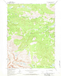
1953 Map of Cony Mountain
USGS Topo · Published 1970About this map
McMahon Park sits amidst a high-elevation drainage system in Fremont County, captured during the mid-century as part of a larger federal study for the Missouri River Basin. The landscape is defined by the headwaters of the Middle Fork Popo Agie River, where water moves through complex terrain toward the valleys below. Evidence of the region’s hydrological significance is found in the network of glacial remnants and streams, including Petes Lake and the upper reaches of Fairfield Creek. This 1953 field-checked survey provides a clear view of the wilderness before later development or environmental shifts, focusing on the natural water systems like South Fork Squaw Cr that have long shaped the Wyoming interior.
Find a feature on this map
5 named features on this map. Tap any name to fly to it.
Don’t see what you’re looking for? This feature index may not catch every label — zoom into the map to look around manually.
Map Details
Editions of this 1953 Cony Mountain Map
4 editions found
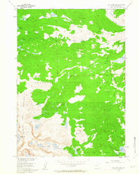
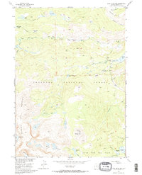
Other maps of this area

1937 · Moccasin Lake
USGS Topo · 1:48,000

1943 · Moccasin Lake
USGS Topo · 1:62,500

1953 · Sweetwater Gap
USGS Topo · 1:24,000

1953 · Cony Mountain
USGS Topo · 1:24,000

1953 · Mount Arter
USGS Topo · 1:24,000

1953 · Fossil Hill
USGS Topo · 1:24,000

1953 · Louis Lake
USGS Topo · 1:24,000

1953 · Christina Lake
USGS Topo · 1:24,000

1953 · Mount Arter SE
USGS Topo · 1:24,000

1955 · Lander
USGS Topo · 1:250,000