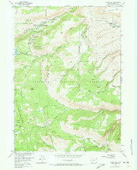
1953 Map of Fossil Hill
USGS Topo · Published 1973About this map
The Popo Agie River and its southern fork dominate this high-elevation landscape within the Shoshone National Forest. The geography is defined by a series of steep drainages including Halls Canyon, Browns Canyon, and Shoshone Canyon, which cut through the Freak Mountains and the massive Table Mountain massif. A notable geological and institutional presence is found at the University of Missouri Geology Camp, situated near the hydrologically unique area known as The Sinks.
Find a feature on this map
51 named features on this map. Tap any name to fly to it.
Don’t see what you’re looking for? This feature index may not catch every label — zoom into the map to look around manually.
Map Details
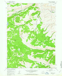
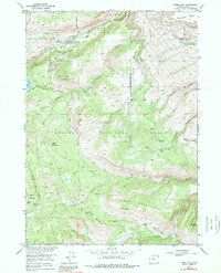
Editions of this 1953 Fossil Hill Map
4 editions found
Other maps of this area

1952 · Lander
USGS Topo · 1:24,000

1953 · Cony Mountain
USGS Topo · 1:24,000

1953 · Mount Arter
USGS Topo · 1:24,000

1953 · Fossil Hill
USGS Topo · 1:24,000

1953 · Louis Lake
USGS Topo · 1:24,000

1953 · Christina Lake
USGS Topo · 1:24,000

1953 · Mount Arter SE
USGS Topo · 1:24,000

1954 · Wolf Point
USGS Topo · 1:24,000

1954 · Miners Delight
USGS Topo · 1:24,000

1955 · Lander
USGS Topo · 1:250,000