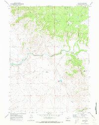
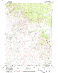
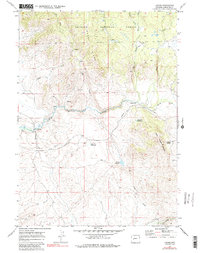
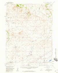
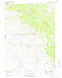
1969 Map of Leckie
USGS Topo · Published 1973About this map
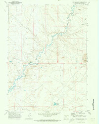
The Emigrant (Lander Cutoff) Trail winds through this high-plains landscape, marking a significant historical corridor for westward migration across Wyoming. Centered on the Big Sandy River valley, the map documents the small settlement of Leckie and its nearby Cem, providing a window into the pastoral and pioneer life in Sublette County during the late 1960s. The terrain transitions from the open flats of Flat Top and Muddy Ridge to the timbered slopes of the Bridger National Forest. Water management is central to the area's utility, evidenced by several specialized basins including Tally Pit Reservoir, Blue Pit Reservoir, and Zembo Reservoir. These features, along with the Gaging Sta on the river, illustrate how the local hydrology was monitored and harnessed for ranching and forest service needs in this high-altitude environment.
Find a feature on this map
23 named features on this map. Tap any name to fly to it.
Don’t see what you’re looking for? This feature index may not catch every label — zoom into the map to look around manually.
Map Details
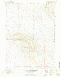
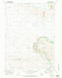
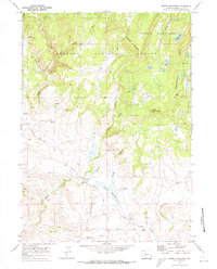
Editions of this 1969 Leckie Map
3 editions found
Other maps of this area

1955 · Lander
USGS Topo · 1:250,000

1958 · Lander
USGS Topo · 1:250,000
1958 · Parting of the Ways
USGS Topo · 1:62,500

1961 · Lander
USGS Topo · 1:250,000
1969 · Pocket Creek Lake
USGS Topo · 1:24,000
1969 · Leckie Reservoir
USGS Topo · 1:24,000
1969 · Leckie SW
USGS Topo · 1:24,000
1969 · Jensen Meadows
USGS Topo · 1:24,000
1969 · Tabernacle Butte
USGS Topo · 1:24,000
1969 · Big Sandy Opening
USGS Topo · 1:24,000