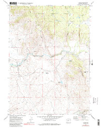
1969 Map of Leckie
USGS Topo · Published 1985About this map
The Emigrant Trail (Lander Cutoff) traces a historic westward path across this high-altitude landscape in the late 1960s, winding through the southeastern edge of the Bridger National Forest. The route, marked by the landmark Buckskin Crossing at the Big Sandy River, highlights the area's legacy as a critical corridor for 19th-century travelers. Near the river, a Gaging Sta and a small Cem suggest the sparse but persistent human presence in this rugged portion of Sublette County.
Find a feature on this map
24 named features on this map. Tap any name to fly to it.
Don’t see what you’re looking for? This feature index may not catch every label — zoom into the map to look around manually.
Map Details
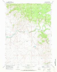
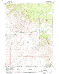
Editions of this 1969 Leckie Map
3 editions found
Other maps of this area

1955 · Lander
USGS Topo · 1:250,000

1958 · Lander
USGS Topo · 1:250,000

1958 · Parting of the Ways
USGS Topo · 1:62,500

1961 · Lander
USGS Topo · 1:250,000

1969 · Pocket Creek Lake
USGS Topo · 1:24,000

1969 · Leckie Reservoir
USGS Topo · 1:24,000

1969 · Leckie SW
USGS Topo · 1:24,000

1969 · Jensen Meadows
USGS Topo · 1:24,000

1969 · Tabernacle Butte
USGS Topo · 1:24,000
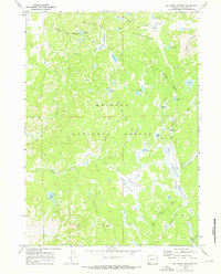
1969 · Big Sandy Opening
USGS Topo · 1:24,000