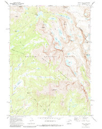
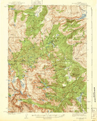
1969 Map of Temple Peak
USGS Topo · Published 1985About this map
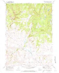
Continental Divide crests along the eastern edge of this Wyoming high-country survey, where the Shoshone National Forest meets the Bridger National Forest. The landscape is dominated by granite spires and glacial basins, anchored by Temple Peak and Wind River Peak. A network of pack trails facilitates travel through the Bridger Wilderness, connecting remote water bodies like Big Sandy Lake, Black Joe Lake, and Deep Lake. The hydrography is defined by the headwaters of the Big Sandy River, which gathers from numerous alpine tributaries including North Temple Creek and South Temple Creek. In the lower elevations, the terrain softens into Sedgewick Meadows and the distinctive landmark known as Crows Nest. The map reveals a wild, unroaded environment where traditional surveying relied heavily on aerial photogrammetry to document the steep relief between Bunion Mountain and Independent Mountain.
Find a feature on this map
41 named features on this map. Tap any name to fly to it.
Don’t see what you’re looking for? This feature index may not catch every label — zoom into the map to look around manually.
Map Details
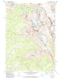
Editions of this 1969 Temple Peak Map
2 editions found
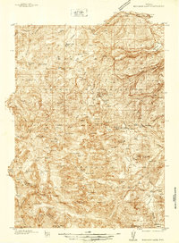
Other maps of this area
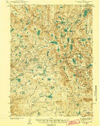
1937 · Moccasin Lake
USGS Topo · 1:48,000
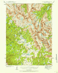
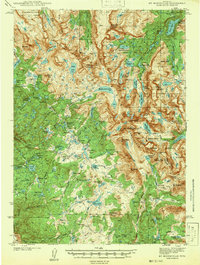
1938 · Mt Bonneville
USGS Topo · 1:62,500
1941 · Mt Bonneville
USGS Topo · 1:62,500
1942 · Mt Bonneville
USGS Topo · 1:62,500
1943 · Moccasin Lake
USGS Topo · 1:62,500
1953 · Sweetwater Gap
USGS Topo · 1:24,000

1955 · Lander
USGS Topo · 1:250,000

1958 · Lander
USGS Topo · 1:250,000

1961 · Lander
USGS Topo · 1:250,000
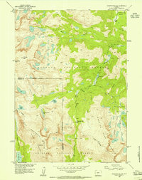
1969 · Jensen Meadows
USGS Topo · 1:24,000