Old Maps of Rocky Crossing, Wyoming for Hiking & Exploration
Hike through history with 10 historic maps of Rocky Crossing. Explore old trails, ghost towns, and forgotten backroads — perfect for outdoor adventurers and local explorers.
- Rediscover forgotten places: Map out old mining camps, roads, and footpaths that no longer exist on modern maps.
- Layer with modern tools: Combine with LiDAR or satellite views to plan hikes through historical terrain.
- Made for exploration: Popular among hikers, overlanders, and local history lovers.
Use these maps to find adventure and explore the hidden past of Rocky Crossing.
Rocky Crossing, WY maps
(10)- 1955 Map of Lander, 1976 Print
 1955 Lander1976 Print · USGSMid-century central Wyoming is captured here as a landscape of high alpine wilderness and burgeoning energy development. Genealogists and historians can trace the path of the Oregon Trail or locate early industrial sites like the Big Sand Draw Oil and Gas Field and the State Training School.2 unique versions available
 - 1958 Map of Lander
 1958 Lander1958 Print · USGSThe high peaks of the Wind River Range meet the Great Divide Basin in the 1950s. Researchers can trace historic migrations past the Oregon Trail Monument or locate early energy infrastructure at the Beaver Creek Gas and Oil Field and the Oregon Trail Oil Field.
 - 1960 Map of Five Fingers Butte, 1963 Print
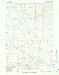 1960 Five Fingers Butte1963 Print · USGSSweetwater County ranch lands and volcanic buttes are captured here during the 1960s expansion of regional water and resource management. Genealogists and historians can trace the foundations of Luman Ranch, local water sources like Niland Spring, and landmarks such as Buffalo Hump.2 unique versions available
 - 1961 Map of Lander
 1961 Lander1961 Print · USGSThe high peaks and desert basins of central Wyoming appear here in the early sixties, showing the landscape of the Shoshone Indian Reservation and the Wind River Range. Researchers can trace the path of the Oregon Trail and locate early settlements like Lander and the mining remains at South Pass City.2 unique versions available
 - 1984 Map of South Pass
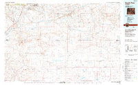 1984 South Pass1984 Print · USGSThe high Wyoming desert during the 1980s reveals a landscape where pioneer history and industrial mining converge. Trace the original paths of the Oregon Trail and Emigrant Trail past historic sites like South Pass City and the Tabor Grand Mine.2 unique versions available
 - 1989 Map of Bush Lake
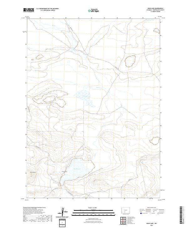
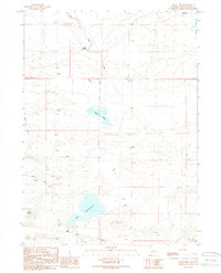 1989 Bush Lake1989 Print · USGSSweetwater County ranching and energy exploration are captured here in the late eighties. Researchers can locate remote landmarks like Luman Ranch, the waters of Bush Lake, and the historic Rocky Crossing over Red Creek.
 - 2012 Map of Bush Lake, 2012 Print
 2012 Bush Lake2012 Print · USGSCovers Rocky Crossing, including Sweetwater County, United States, and other nearby areas
 - 2015 Map of Bush Lake, 2015 Print
 2015 Bush Lake2015 Print · USGSCovers Rocky Crossing, including Sweetwater County, United States, and other nearby areas
 - 2017 Map of Bush Lake, 2017 Print
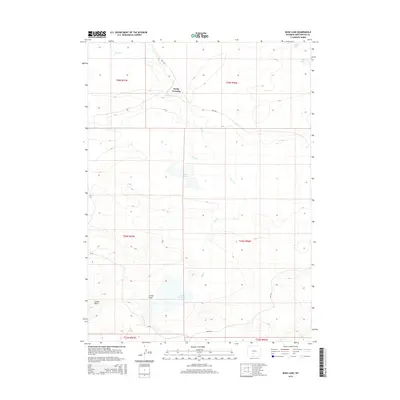
 2017 Bush Lake2017 Print · USGSCovers Rocky Crossing, including Sweetwater County, United States, and other nearby areas
 - 2021 Map of Bush Lake, 2021 Print
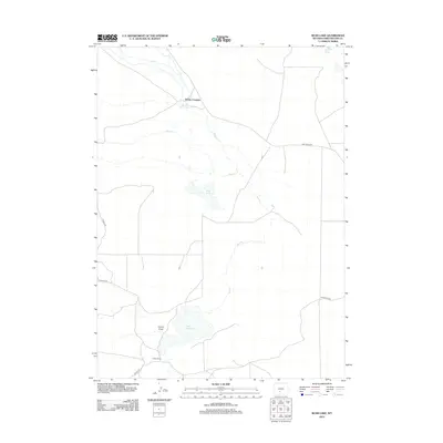
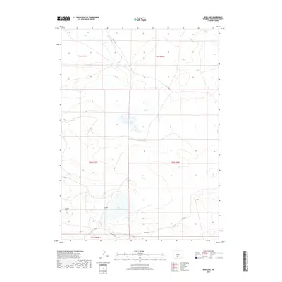
 2021 Bush Lake2021 Print · USGSSweetwater County's high-desert plains are mapped here in the modern era, showing a landscape defined by water scarcity and vast open range. Researchers can trace remote routes like Tipton-North Rd to landmarks such as Bush Lake, Luman Butte, and Hay Reservoir.
End of results
Showing maps 1-10 of 10
Frequently asked questions
- What are the different types of historical maps available for Rocky Crossing?
- What is the oldest map of Rocky Crossing?
- Where can I purchase historical maps of Rocky Crossing for my home or office?
- Where can I download high-res historical maps of Rocky Crossing?
- Are there historical topographic maps available for Rocky Crossing?
- Is there historical aerial imagery available for Rocky Crossing?
- Where are historical maps of Rocky Crossing sourced from?